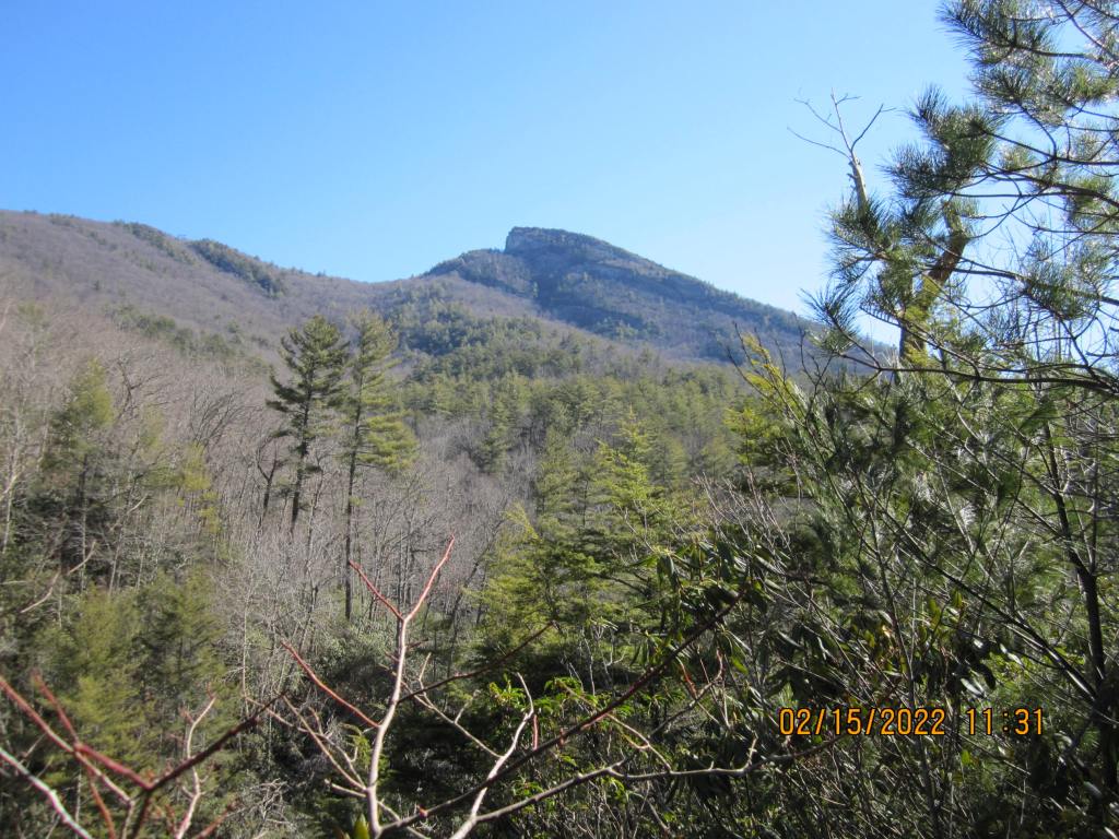
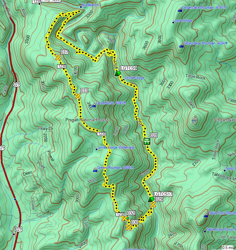
I start a new position as a contract engineer on the 21st, so I figured I’d get out and hike a few miles in the Linville Gorge. I thought about spending 3 nights with an out and back, but realized once I got there that I was supposed to only spend 2 nights, so I changed plans slightly. As it turns out, I’m glad I did. The trip ended up being a little over 13 miles with a decrease in altitude from ~3500 to 1900, then back up, with several dips and climbs of ~100 – 400 ft in between.
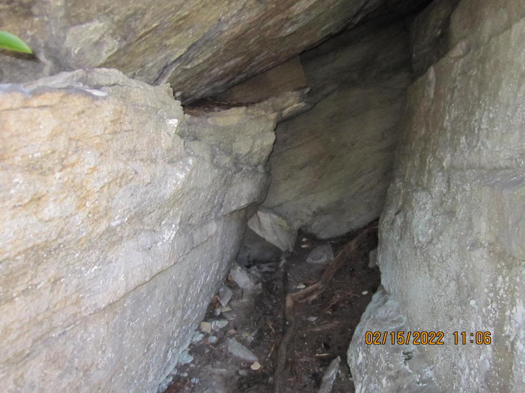
I started at the Bynum Bluff trailhead at almost 11 AM, since I knew it was a pretty easy in and out. The trail goes mostly downhill but mostly also gently for about a mile to the river. The Linville Gorge Trail connects maybe a tenth of a mile before the river and goes south. I hadn’t planned on any specific campsite; just wanted to hike until late afternoon a pick a spot. As I hiked, I had several campsite locations plotted on my GPS and thought that campsite 6 or 7, as labelled, would be a good place to stop for the day. Well, I passed site 6 without knowing it, got to site 7 and it was a rock overhang. Nope, not doing that, so I walked back to 6 and couldn’t find it. (Yes, I was pretty tired by now, so my ability to GAS was pretty low.) I decided to keep going and ended up a site 9, which was pretty decent.
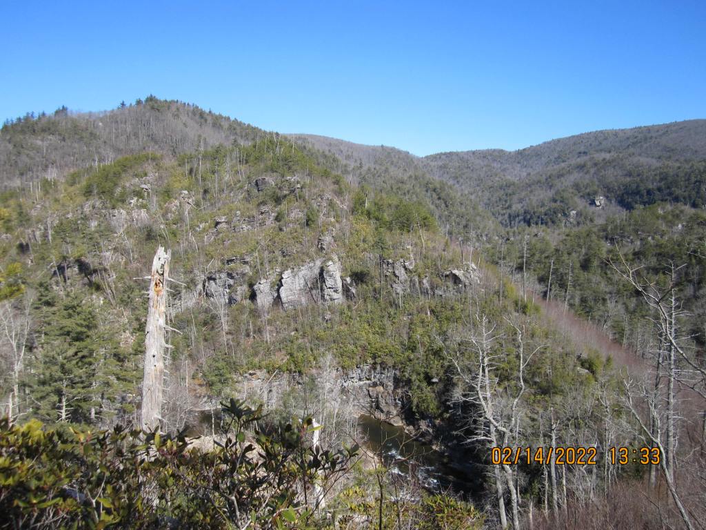
Site 9 had a previous camper that dug out a level spot and left his two (green) sticks stuck into the ground for a tarp lean-to. This being a wilderness area, that just bugs the shit out of me. It also looks like he left two empty Mountain House meal bags in the fire pit; and yes, I packed them out with my trash. I did avail myself of the level tent spot, though. During the night, it looks like a bear came through and rummaged through the meal bags, and rolled my bear vault about 75 yards down the hill; it has some new teeth marks in it now.
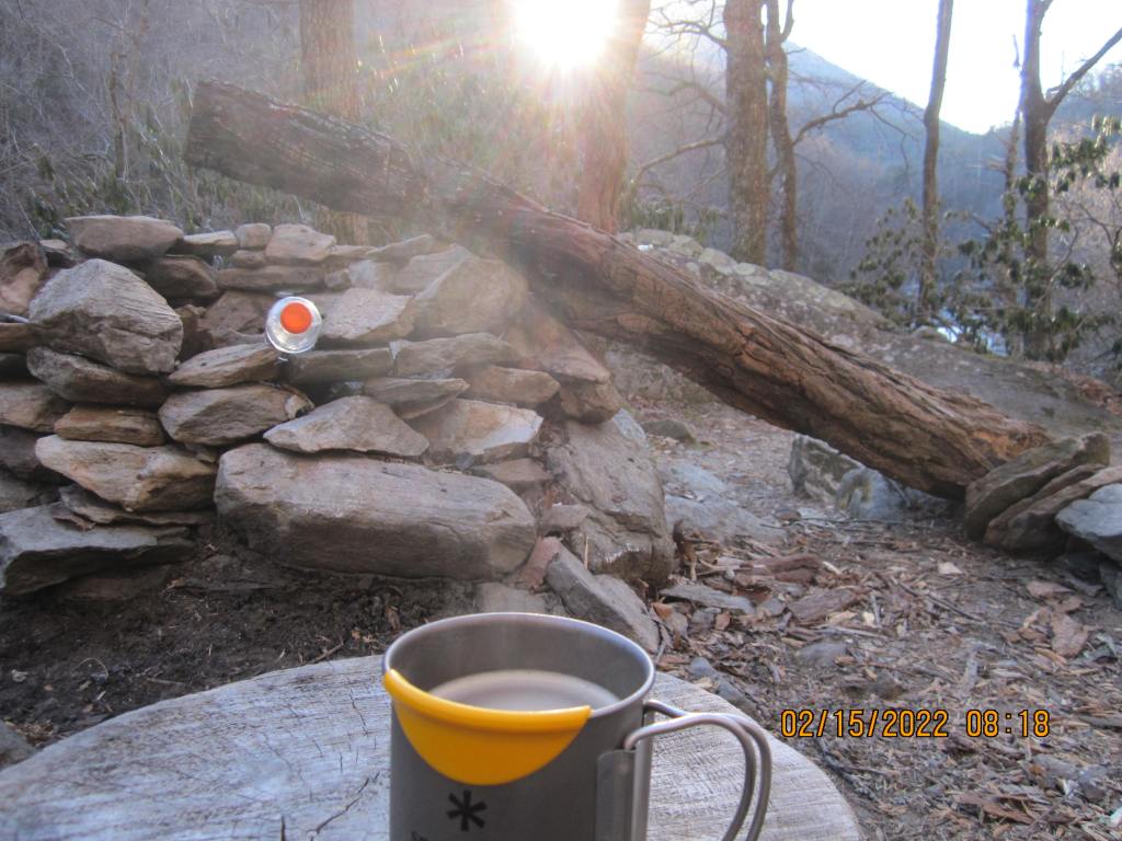
I got a Firebox for Christmas from my “outdoor family” and tried it out this trip (thanks JA, JA, WA, and JA:
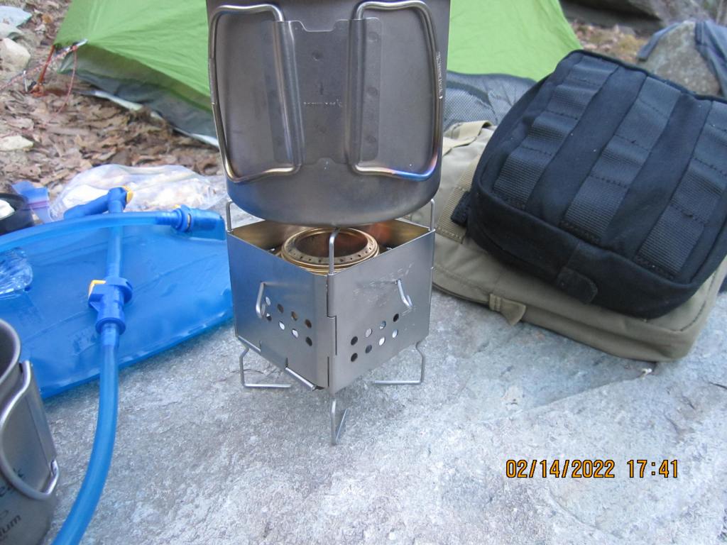
It worked well, but next time, I’ll bring my windscreen to keep the flame concentrated when it is windy.
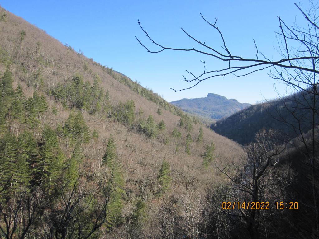
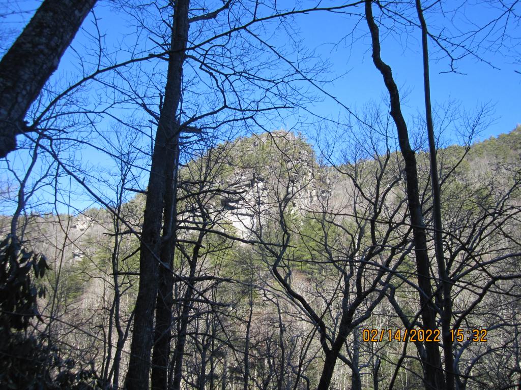
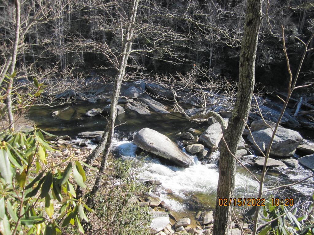
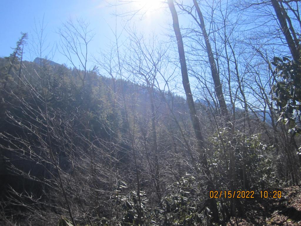
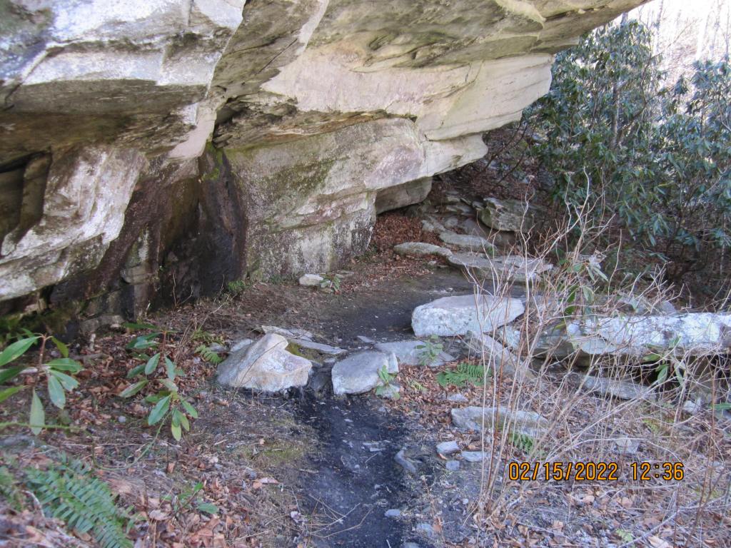
The second day in, I decided to hike down to campsites 16, 17, 18, or 19. They looked reasonably close to the Conley Cove connector trail. I settled on 17 pretty quickly once I got there, but 16 was closer to the river. Here are a few of the pictures that day:


Wednesday morning was covered in clouds. The Conley Cove trail connection was close by so I headed uphill. It turns out that it was not that steep. Several small stream crossings were a little hairy, with ice and some snow, but in general the trail was much easier than the LGT portion I did the previous two days. I got to the Kistler Memorial Highway, aka, dirt/gravel road about 11:30; a little more than a two hour climb. When I headed up the road the wind picked up and it started to drizzle a bit, so I put my shell on and walked the ~4 miles back to the truck.
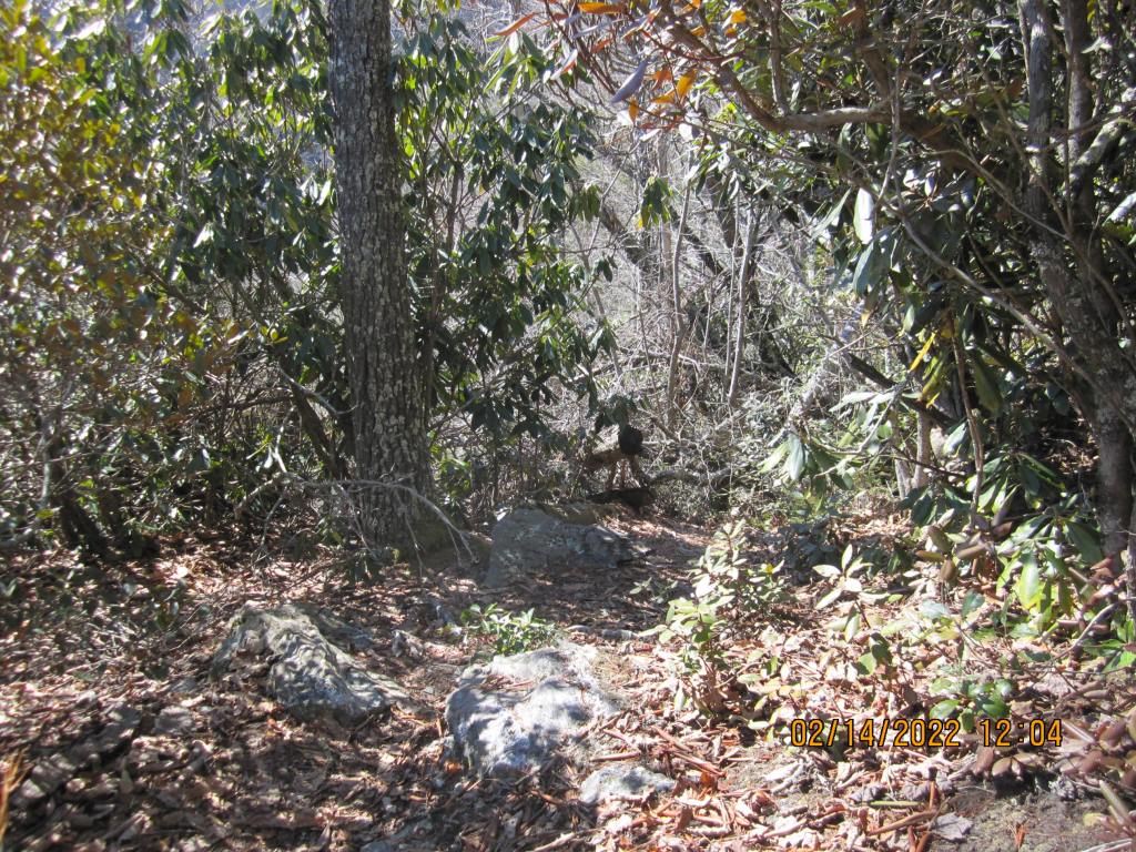
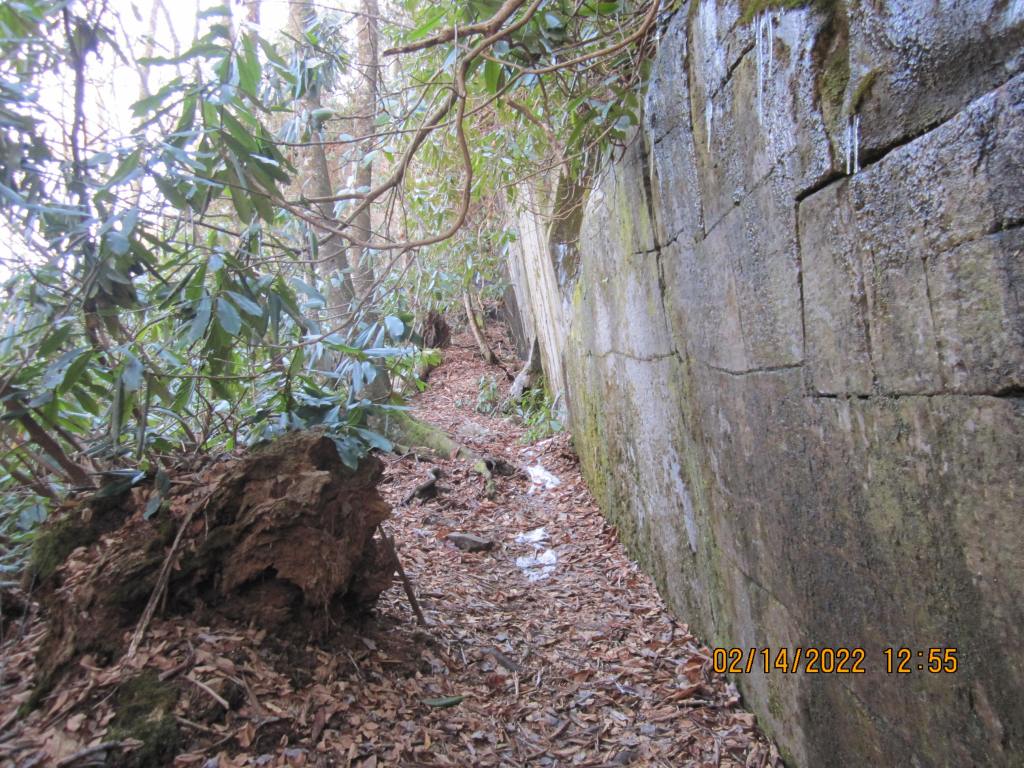
This trip, I saw one day hiker coming down the Conley Cove trail as I went up. He then passed me in his truck three times as I walked up the road. I will say too that the portion of the LGT that I hiked those two days were the most rugged I have ever hiked. I’ve been on portions of the LGT around the Pinchin and Unnamed (I’m renaming Unnamed, Bitch on my maps) connectors that were much more forgiving. As I’m typing this on Friday, and my quads and calves still hurt, and my left knee is swollen a bit. Ah well, nothing a little ice and ibuprofen won’t help cure (along with a dirty martini or two tonight).
I’ll end this episode with a video of a cascade along the Conley Cove trail:
