2017
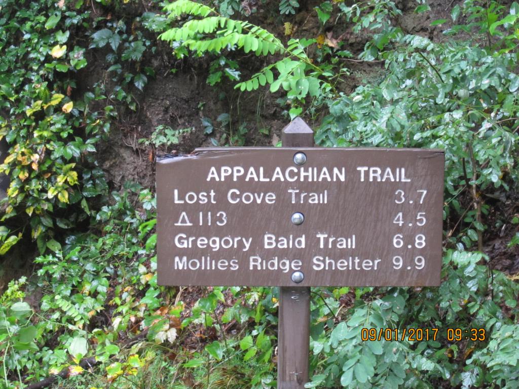
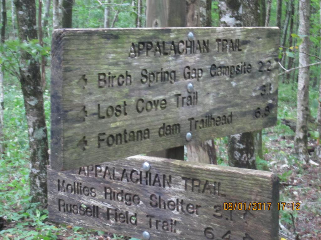
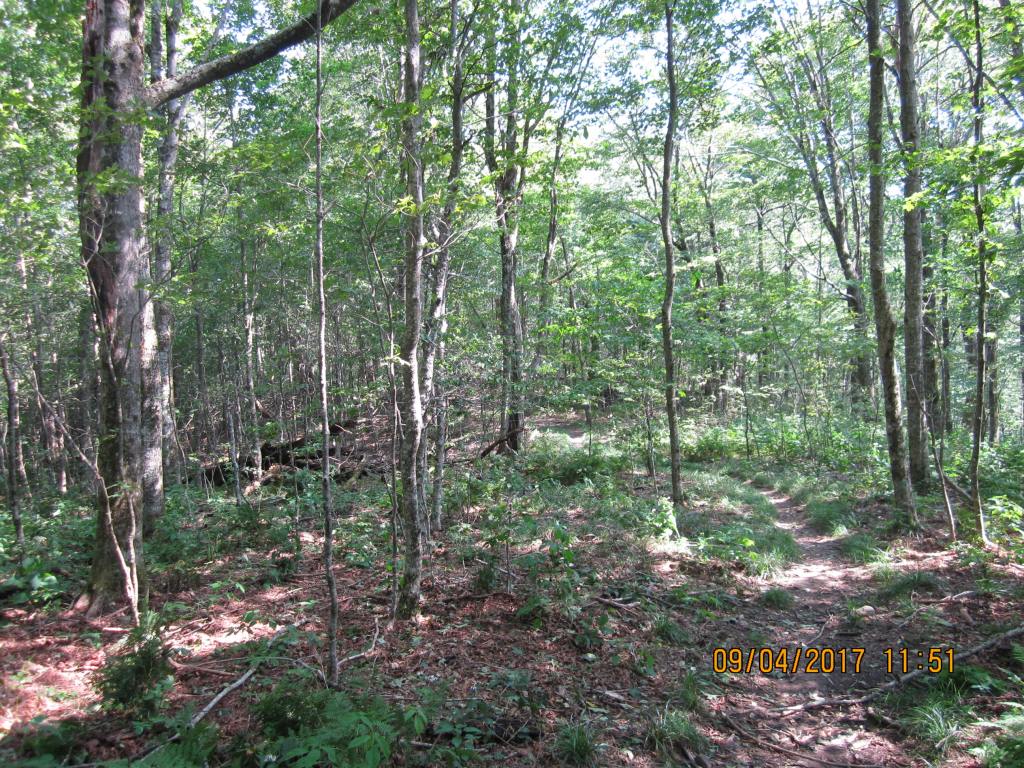
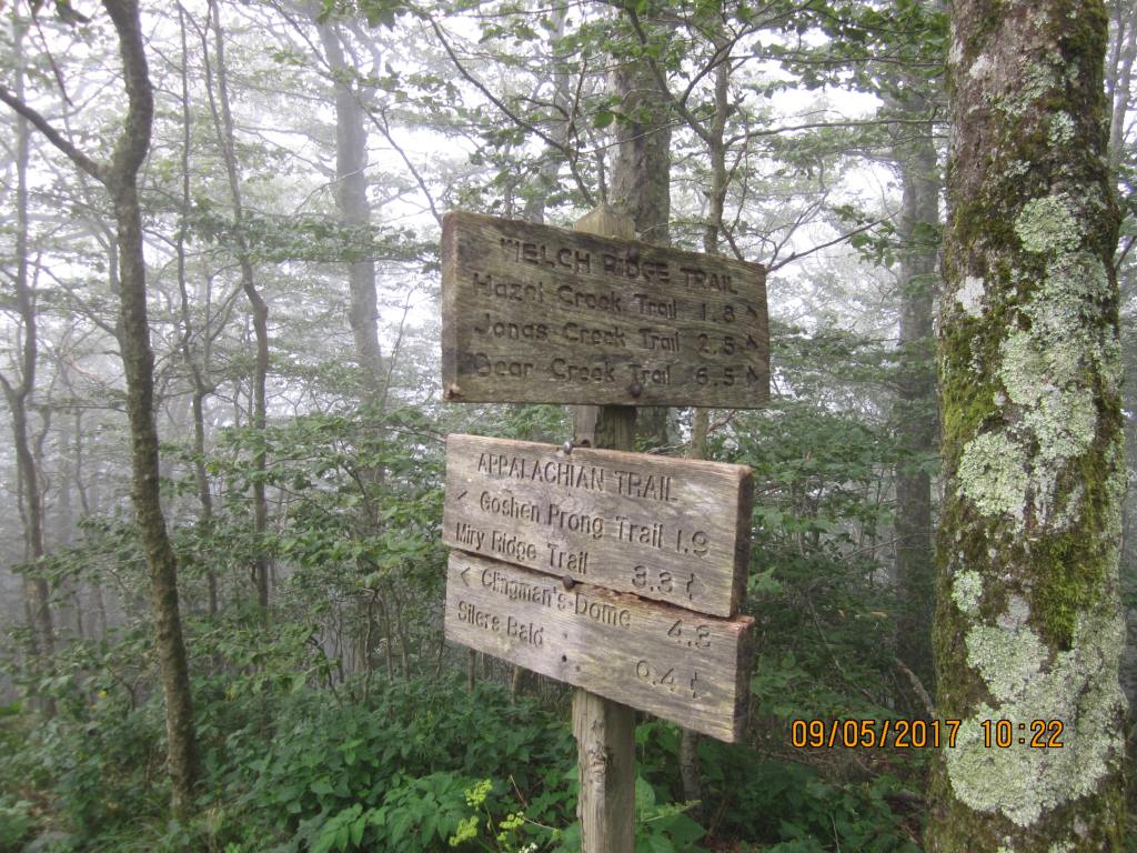
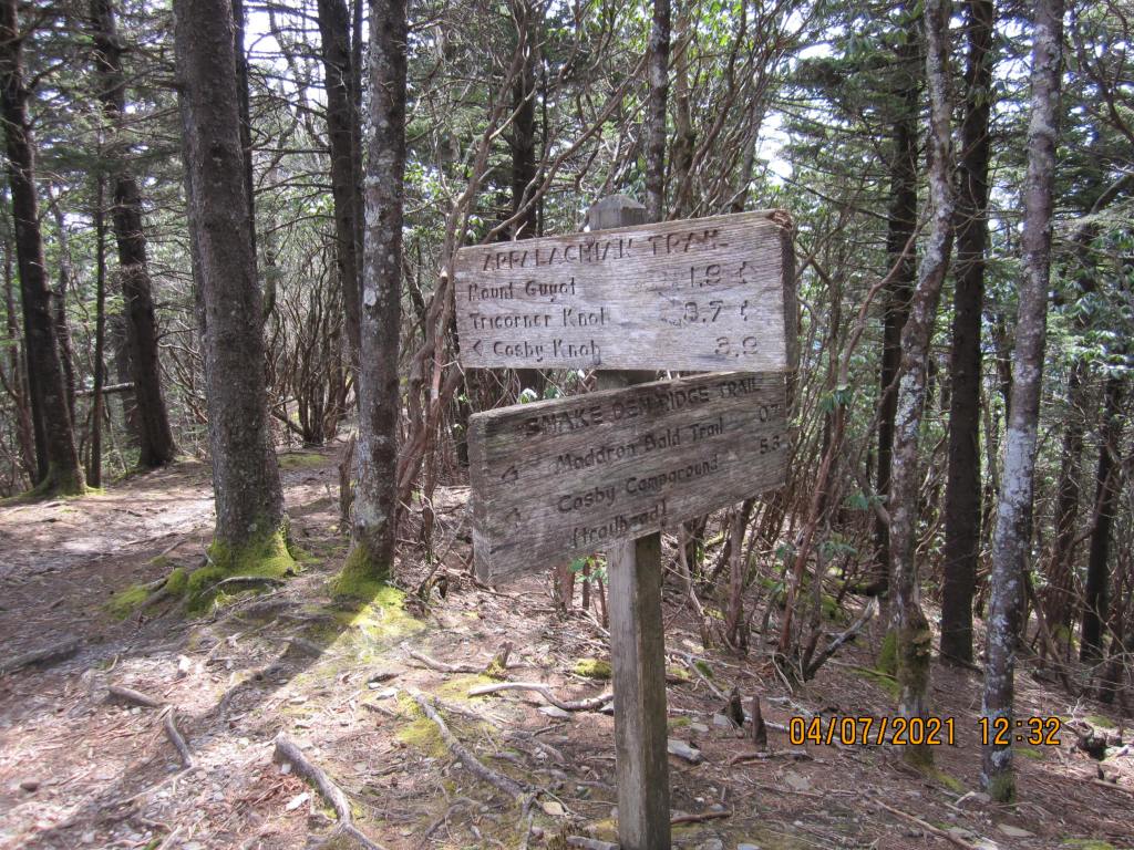
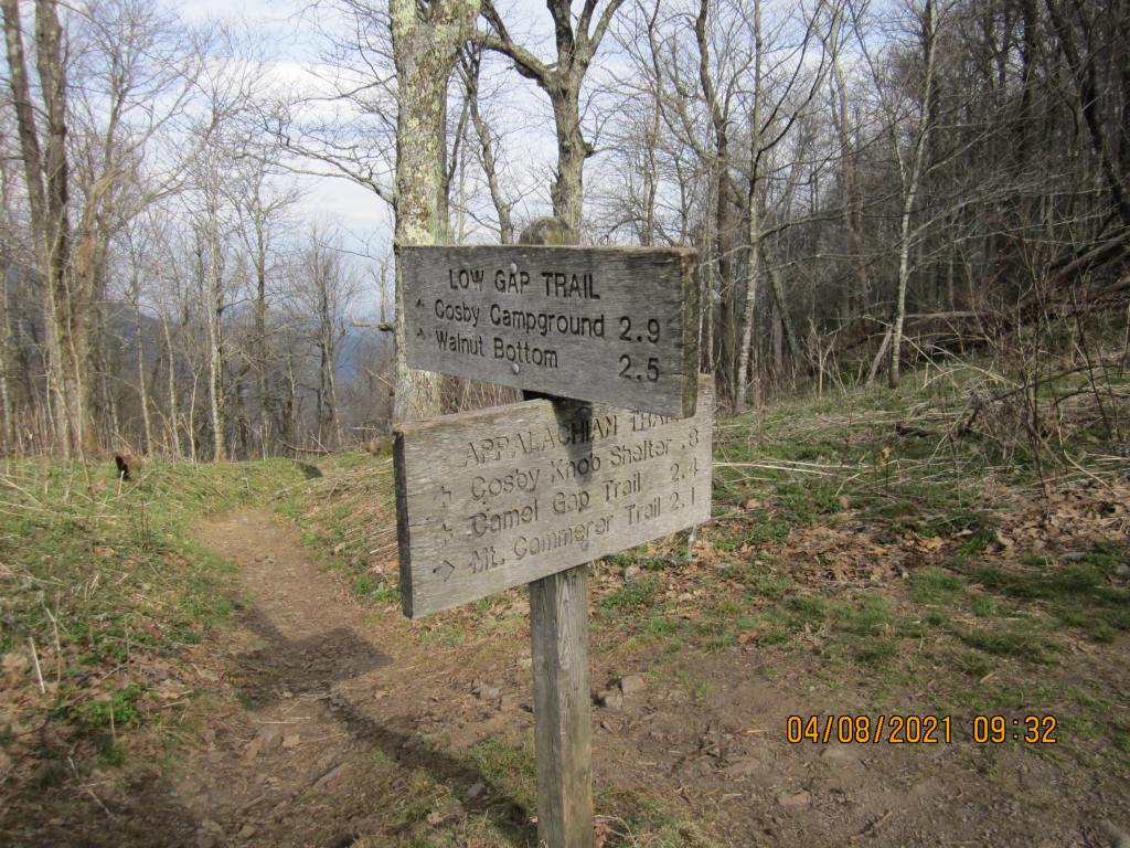
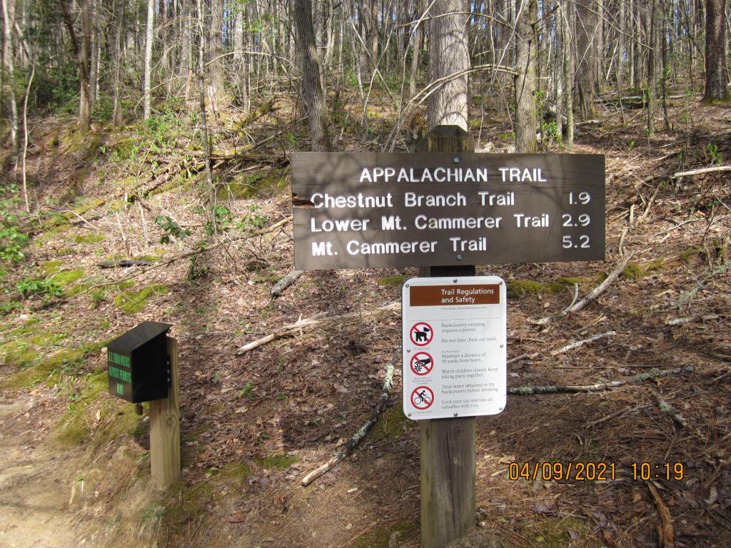
I made plans to section hike the Appalachian Trail through the Great Smoky Mountains National Park in 2017. The original plans were to hike it in 9 days 8 nights starting at Fontana Dam. I reserved shelters along the way – Birch Spring Gap, Russell Field, Derrick Knob, Silers Bald, Mt. Collins, Icewater Springs, TriCorner Knob, and because the last two were closed due to bears(Cosby Knob and Davenport Gap), I decided to hike down to the Cataloochee Ranger Station for pick up and stop at Laurel Gap shelter the last night. Two weeks before starting, the park service closed Birch Spring Gap shelter due to bear activity, so I decided to hike to Mollie’s Ridge shelter the first day instead; the rest of the shelters stayed on the permit. I would have my father pick me up somewhere around the ranger station and take me back to Fontana Dam, where I left my car.
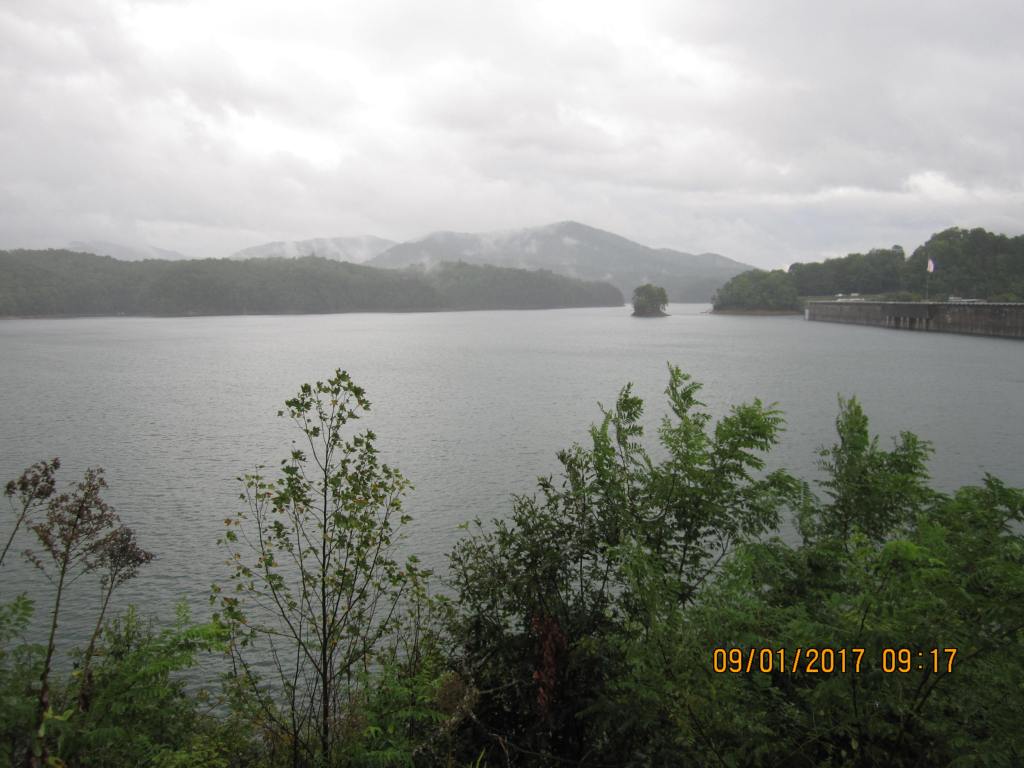
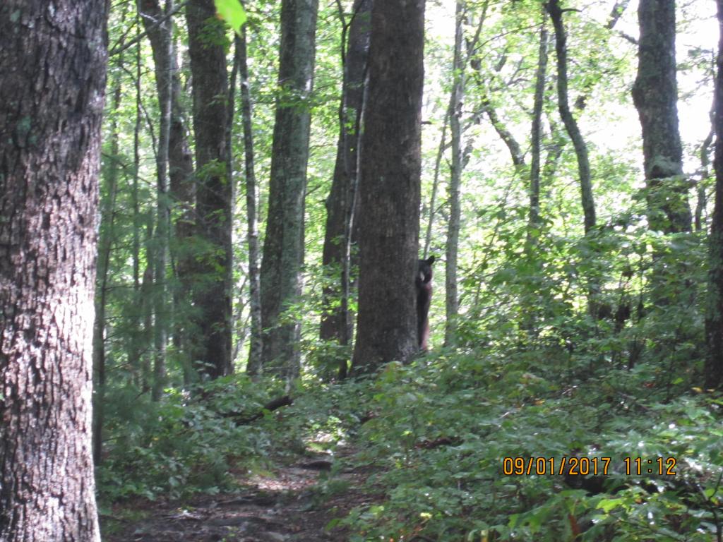
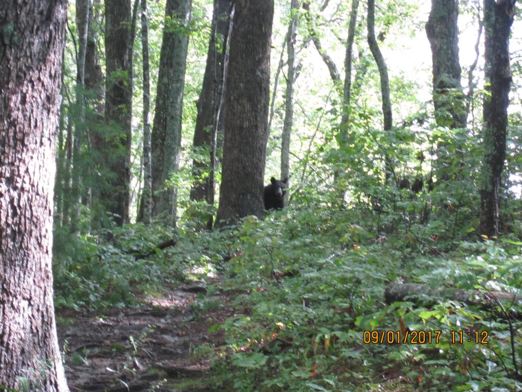
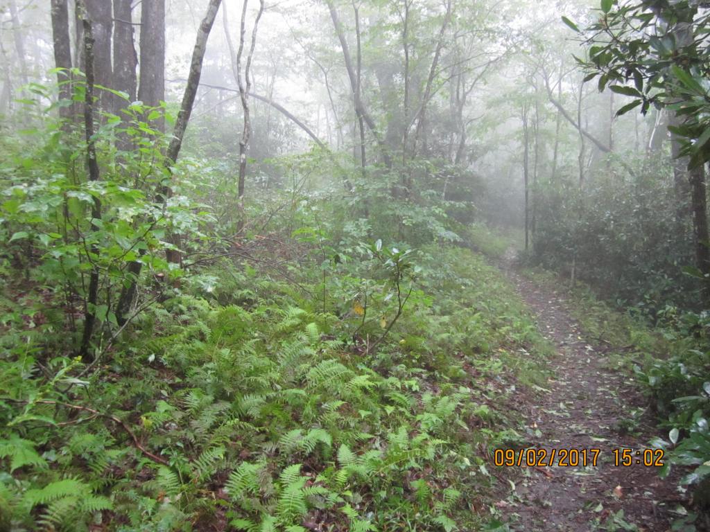
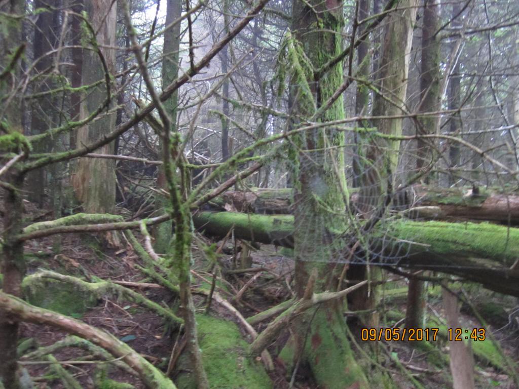
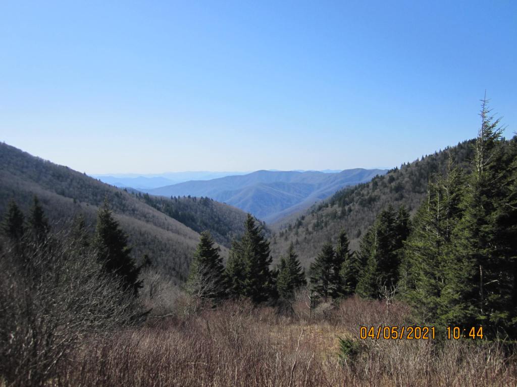
I stayed at his house in Sylva the night before and drove to the dam early the next morning, 9/1. It was raining pretty good and a bit cold, so I put my rain gear and pack on and took off. As soon as I got across the dam, I was as sweaty inside the gear as the gear was wet on the outside, so I stopped, took it off and started again. At about 11 o’clock the rain stopped, and the woods came alive with birds. I was already at the top of Shuckstack ridge, was looking down at the trail, and smelled a bear. I stopped, looked up, and 20 yards in front of me was a young black bear, sort of hiding behind a tree. It was actually the first bear I’d ever seen in the woods, although I have seen where they had trampled blackberry vines and blueberry bushes down for years in the Shining Rock Wilderness area; and several had come through camp at night on other trips. It wasn’t moving anytime soon, so I just waited and took a couple of pictures and marked the location on my GPS. It finally decided to move eastward down the ridge and I continued my hike. The hike that day was long for me at 11.9 miles and I reached Mollies Ridge Shelter right after dark.
The next day was a short day, only 3.4 miles to Russell Field. It was mostly uneventful, but around Big Abrams Gap, I saw the back end of an elk disappear around a bend in the trail. I didn’t have time to get the camera out, so I just waited a while to make sure it disappeared before I continued.
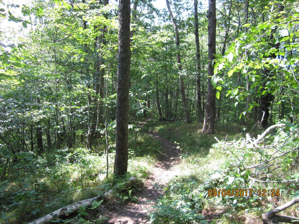
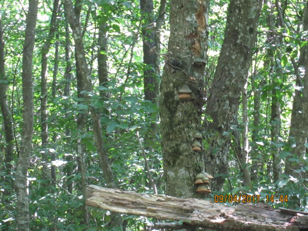
On 9/3, I hiked to Derrick Knob, a 10.3 mile hike. I had lunch on Rocky Top, with what seemed like 20-30 other AT and day hikers. It was the first time I ate “Creamy Cilantro Tuna Salad” from “Lipsmackin’ Backpackin’”. I now add more tuna and cilantro to the dehydrated mix, and it has become one of my favorites for lunch. I met a “trail steward” in the early afternoon. We talked about the nice weather and I told him about the elk the day before. He said it was pretty rare for them to be so far from the Cataloochee area. Somewhere in mid-afternoon, I slipped on either a rock or a stick walking down a sloped rock face. I do remember seeing the ground just before I hit and must have flipped over. I ended up upside down, “turtled” on top of my pack with my head downhill. The back of my right hamstring got bruised, but I couldn’t tell how badly. I stayed at Derrick Knob shelter that night.

On 9/4, on my hike to Siler’s Bald, the front of my right leg went numb. It only hurt some in my hamstring area but it did bother me to the point that I hardly slept that night. It was a short hike to Siler’s Bald, only 6.8 miles; the only thing I remember about the hike was worrying about my leg. I do remember several hikers that got high on pot that night in a tent they pitched near the shelter. Also, I bitched about what pigs some people were for leaving empty cans of Vienna sausages lying around the spring and they should learn something about LNT hiking. The hikers did go back and pick them up and carried them away from the shelter, so I assumed it was them that dumped them there in the first place.
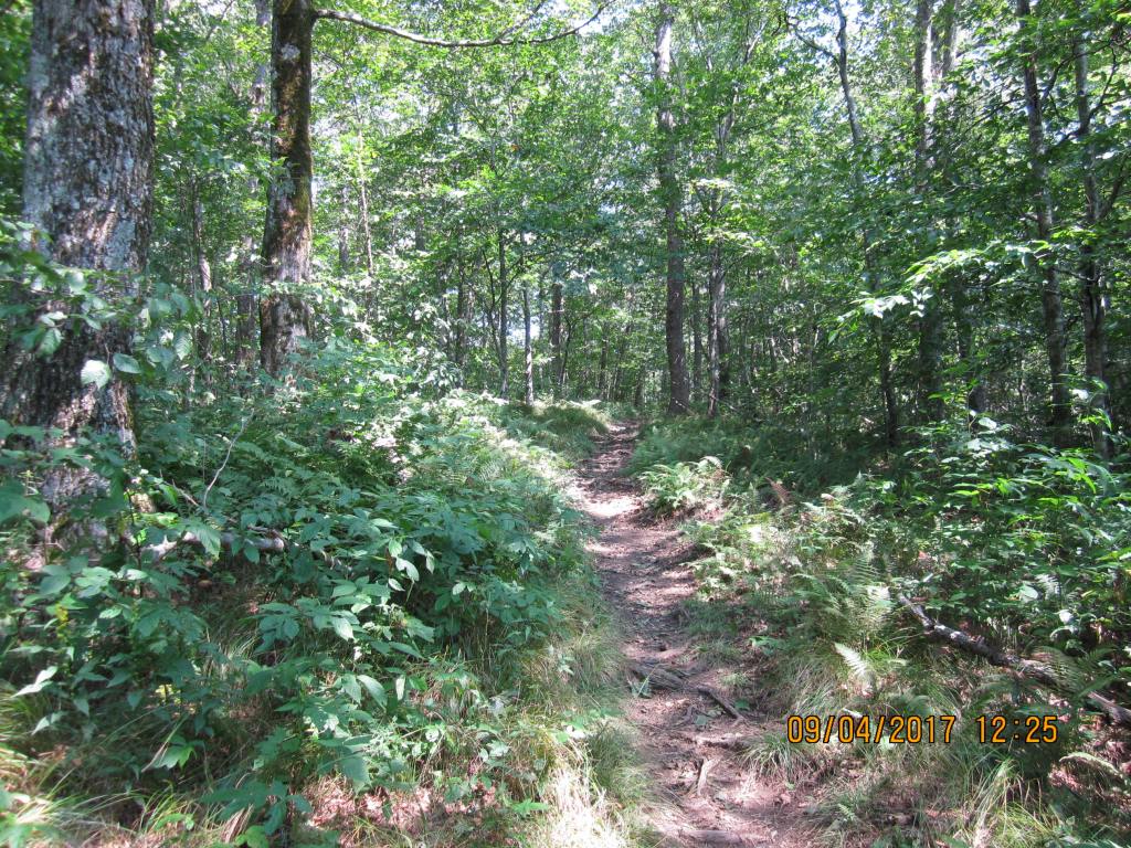
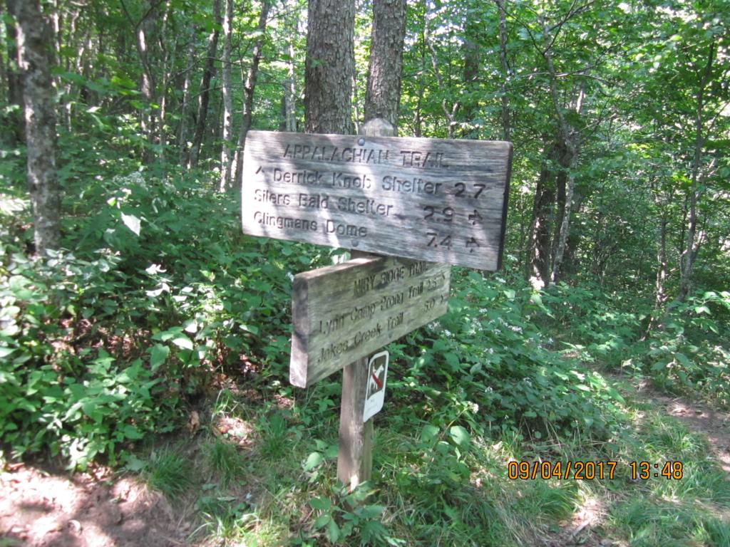
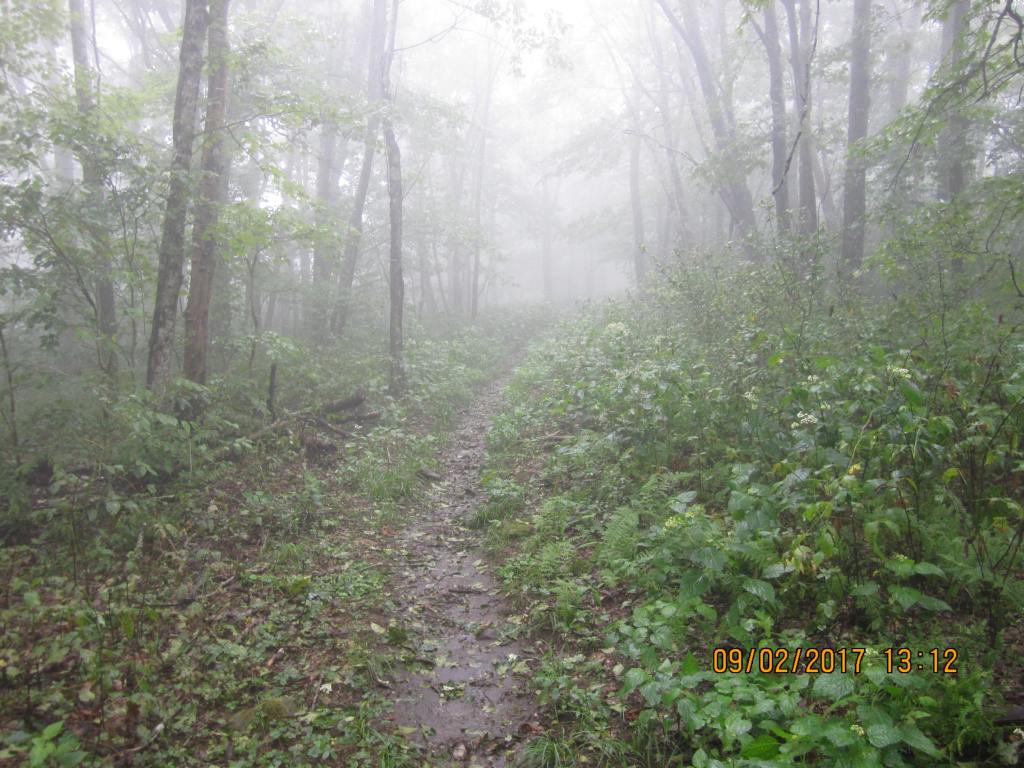
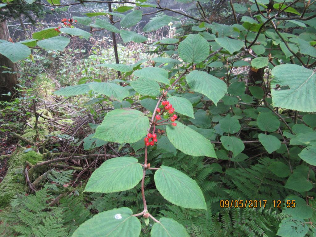
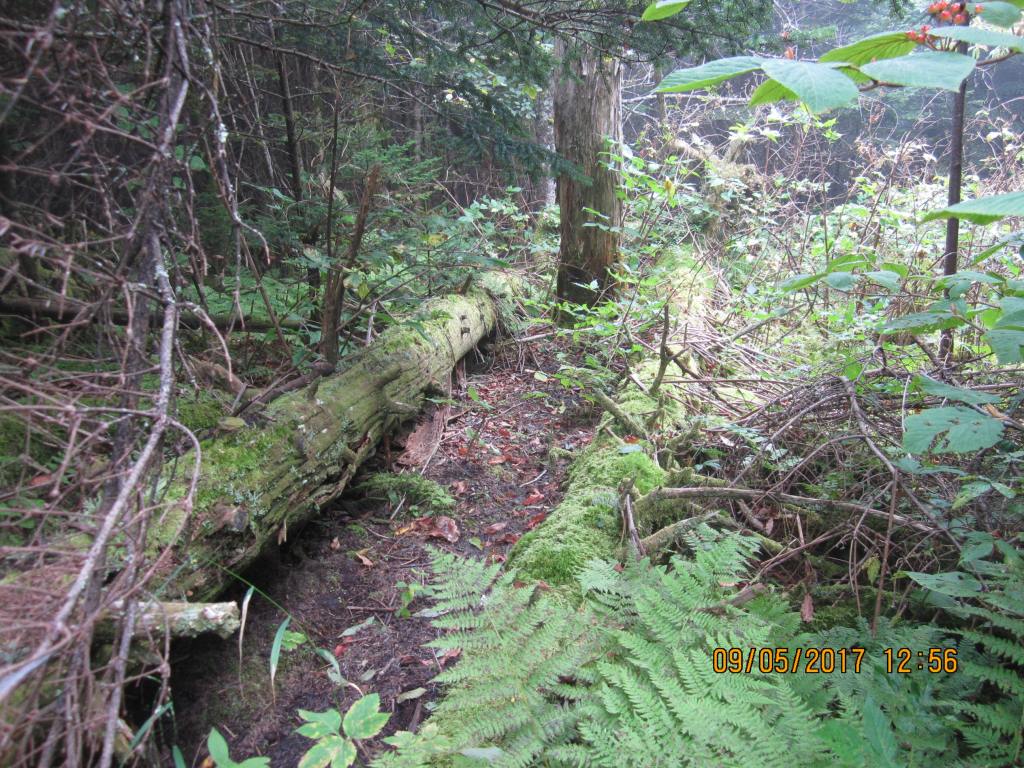
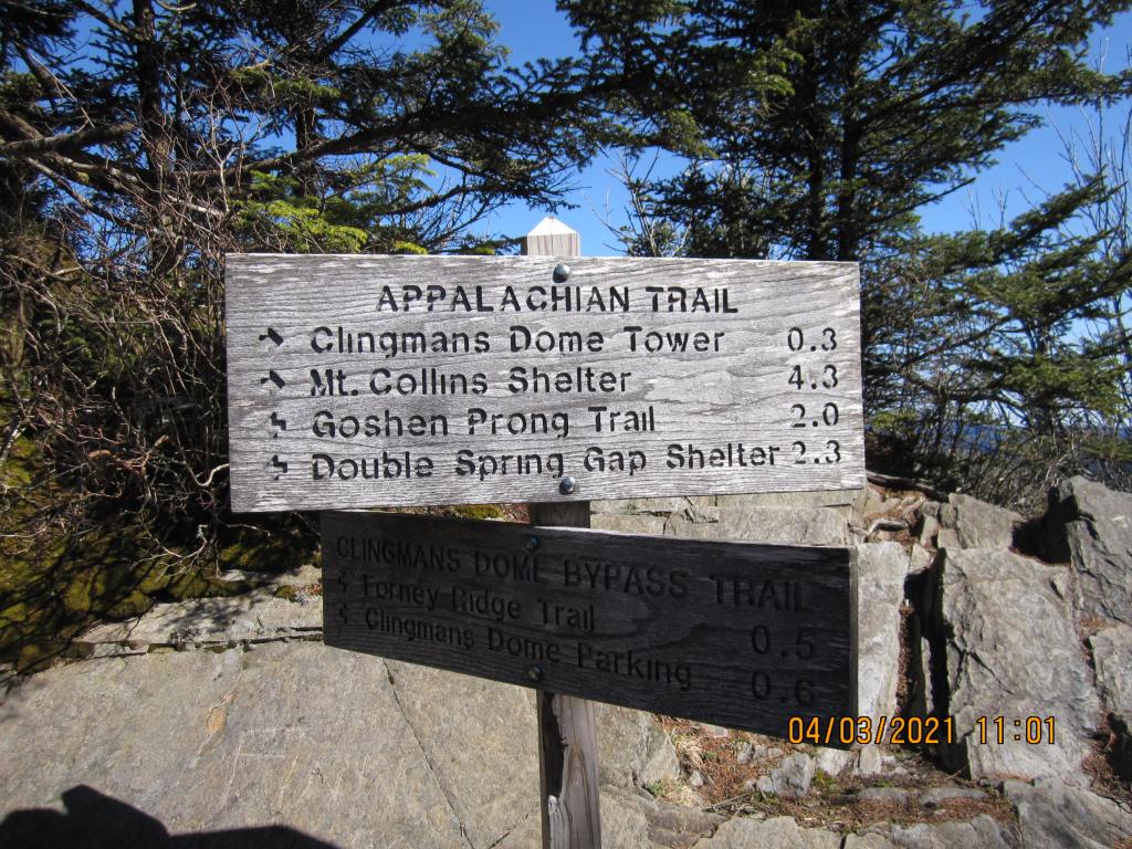
On 9/5, I checked my phone and I actually had several bars of coverage. I called my dad and asked him to pick me up at Clingman’s Dome; I didn’t think I should push my luck with my leg. The hike was 5.7 miles. I remember it being cloudy and a bit misty. I recall hearing and seeing water drip from the fir and hemlock trees along the way and couldn’t help but think maybe that was partially how they had evolved; maybe the needles helped “comb” the moisture from the mist to help water the trees. My father and step mom met me at Clingman’s Dome and took me back to the dam. I drove home that night.
I went to the doctor the next day with a really big bruise on the back of my leg; the doctor said the feeling would come back, and it did. I probably could have continued, but decided to play it safe. 5 nights and 38 miles was good enough.
2021
I decided in early 2021 to complete the section hike through the Smokies on the AT. I made the trip in 6 nights, 7 days starting on April 3. I made plans to drive to Standing Bear Hostel, where I would get an early morning shuttle to Clingman’s Dome – I would hike back to the hostel. I again spent the night at my father’s house and got up early the next morning and headed to the hostel. There were two other hikers in the shuttle with me and the driver. This was still “Covid” time. We got about 10 miles away from the hostel and the driver asked me if I had a mask (!). I said yes, put it on, and started laughing hysterically. He asked what was so funny, and to keep from getting thrown out of the car by telling him how stupid he was, just said that if any of us were going to catch it, we would have gotten it by now – the mask would make no difference by now.
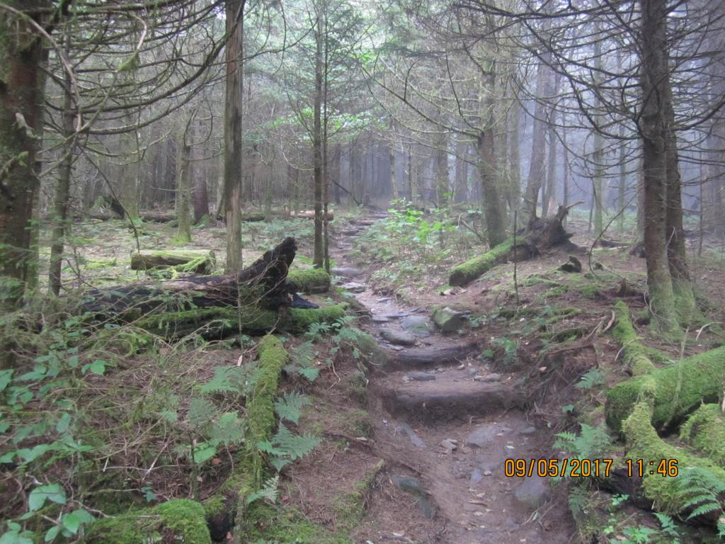
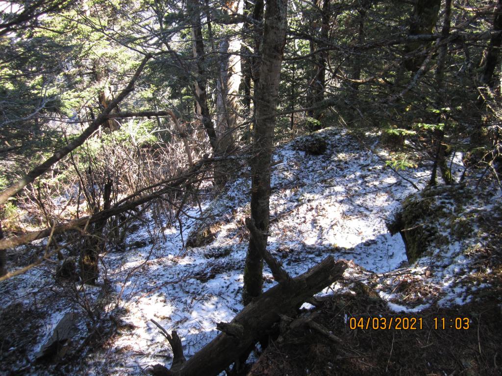
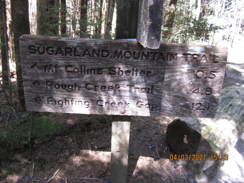
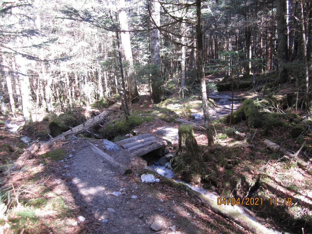
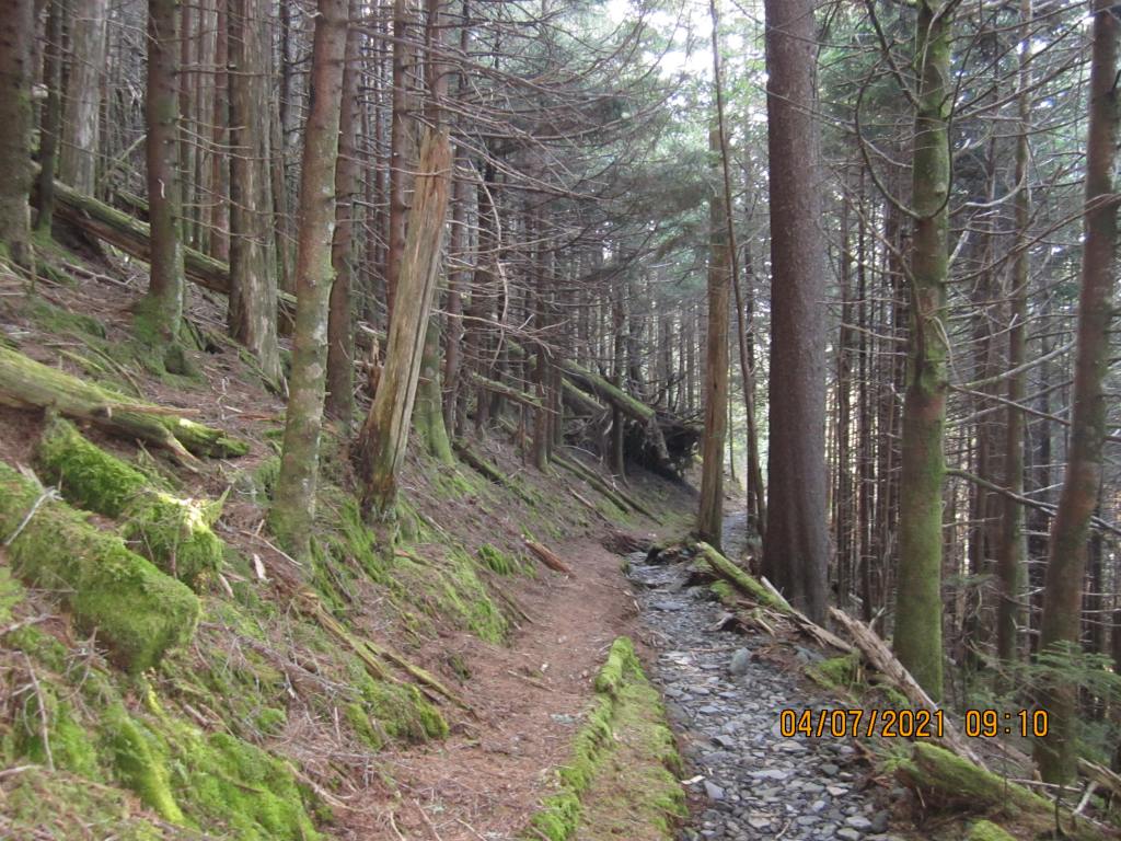
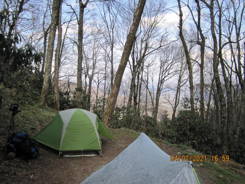
At any rate, we got to Clingman’s Dome, got my gear out of his car, and then called him an idiot. I started down the trail from the parking lot to the spot I ended almost four years earlier. I got to the trail and saw all the ice; I was glad I bought some microspikes and put them on. What a lifesaver! The trail to Mt. Collins shelter was about 5.7 miles long and had plenty of ice in the trail. I set up my tent at the shelter (the park service said it was okay, given the Covid scare). I found out from other hikers that they knew of two people who had slipped on the ice between Siler’s Bald and Clingman’s dome and had to be carried out. One guy there had a bruise bigger than the one I had on my leg 4 years before and ended up hiking back to Clingman’s Dome the next day instead of continuing.


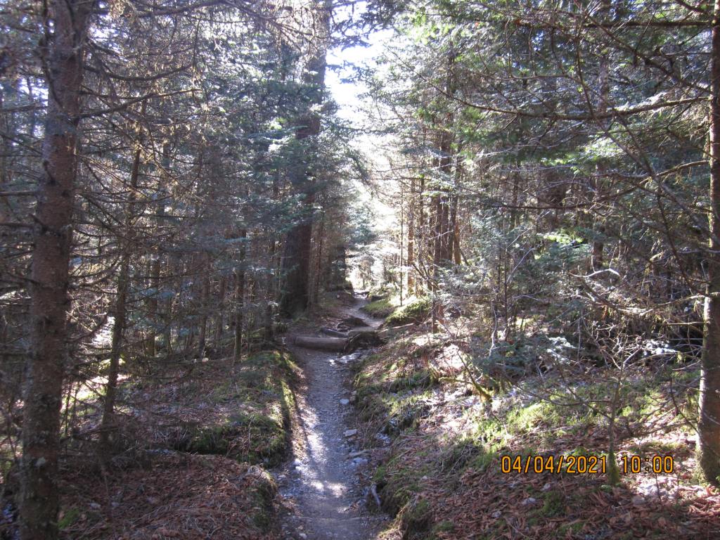
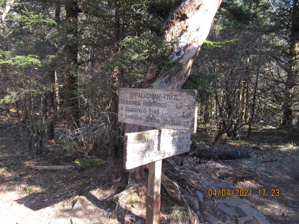
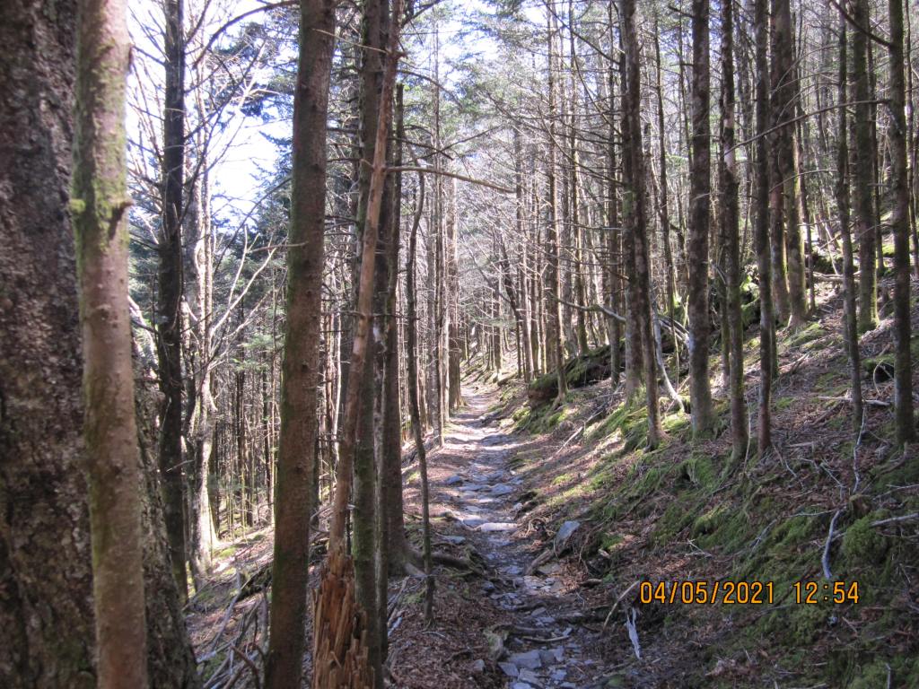
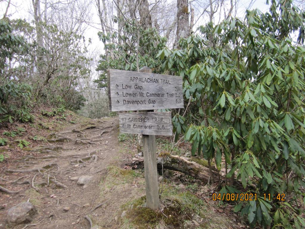
On 9/4, the hike was to Icewater Spring shelter, 9.1 miles. The first part of the hike, almost to the 441 crossing had plenty of ice, so the spikes were needed. I took them off before the crossing and never needed them again (I’ve used them in the winter elsewhere). I remember after crossing 441, there is about a 3.5 mile uphill climb up to Mt. Kephart. . I had to camp a good ways down the hill from the shelter – there were a lot of people there that evening. There was one guy there that seemed to be the “camp steward” (?). When I walked past the campfire and shelter to get water, he commented that I had a really big pack. I said, “Big pack for a big man”. The others standing around started giving him a bit of hell. When I came back, they were all calling me “Big Man”. I told them my real trail name was “Mountain Man”, given to me in 2006 by a guide at Camp Daniel Boone.
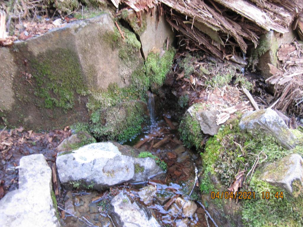

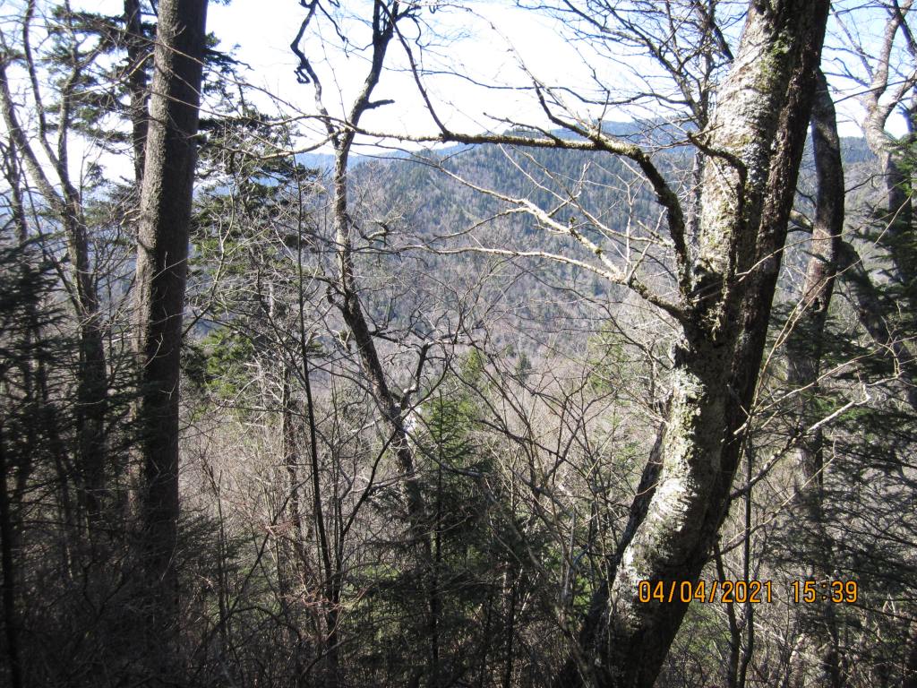
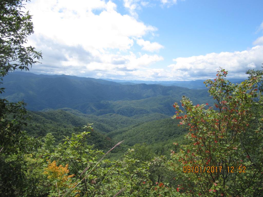
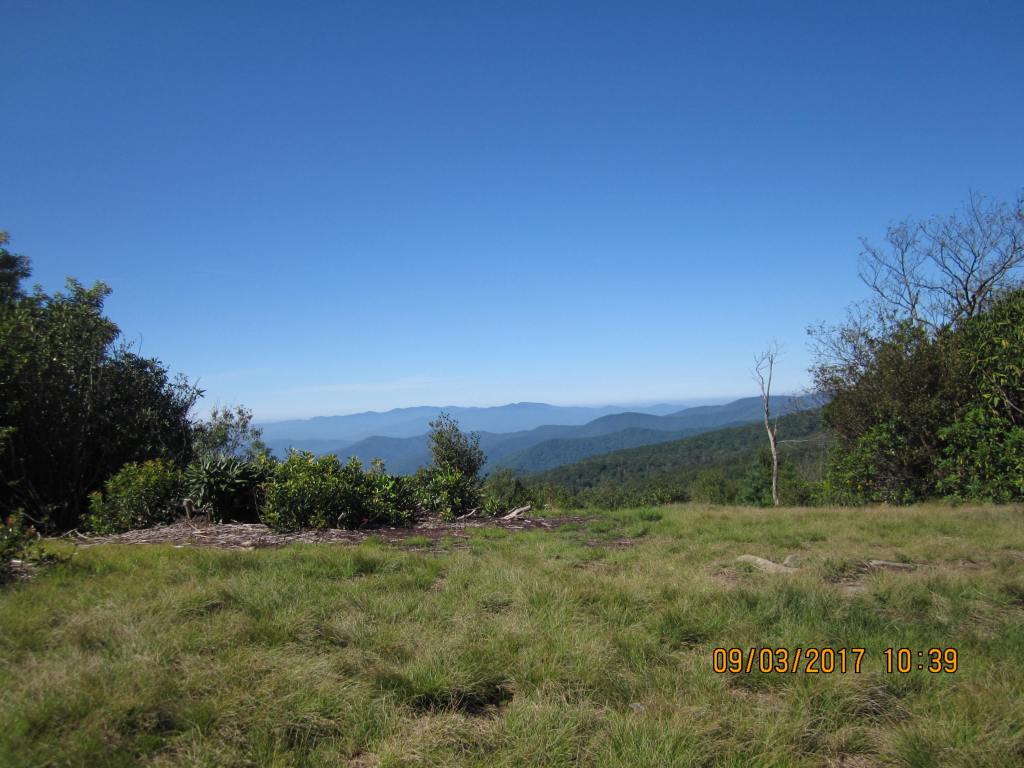
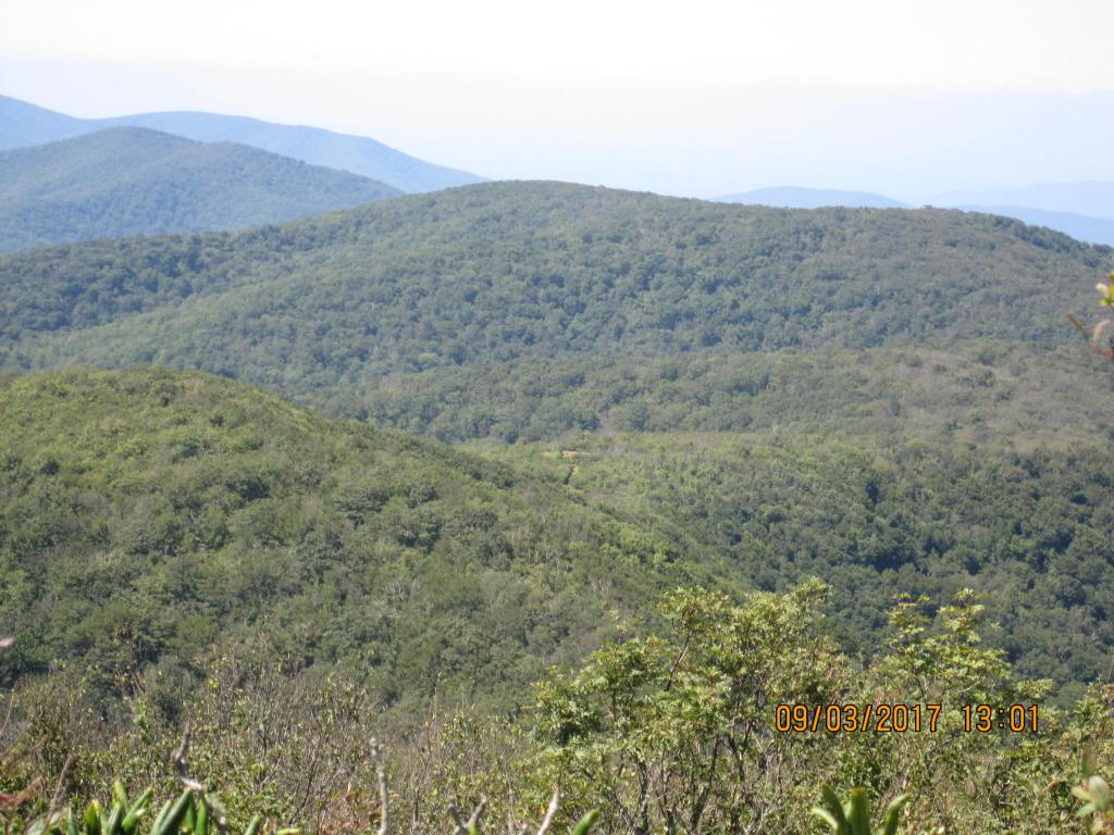
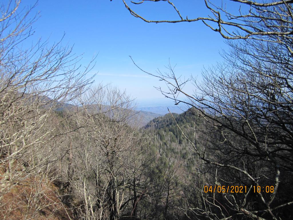
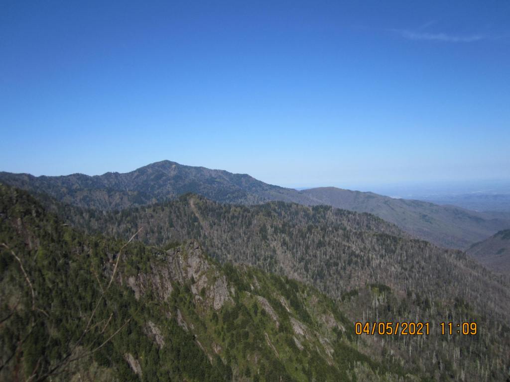
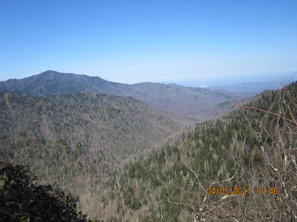
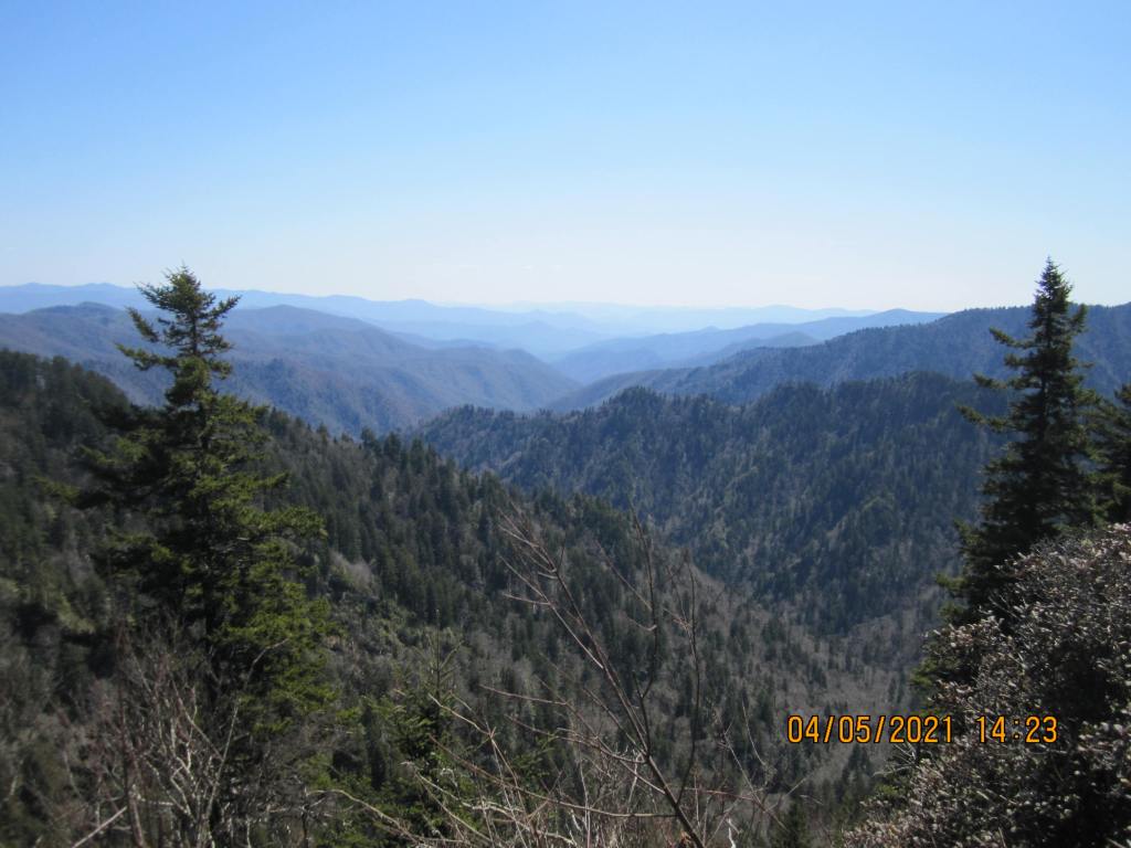
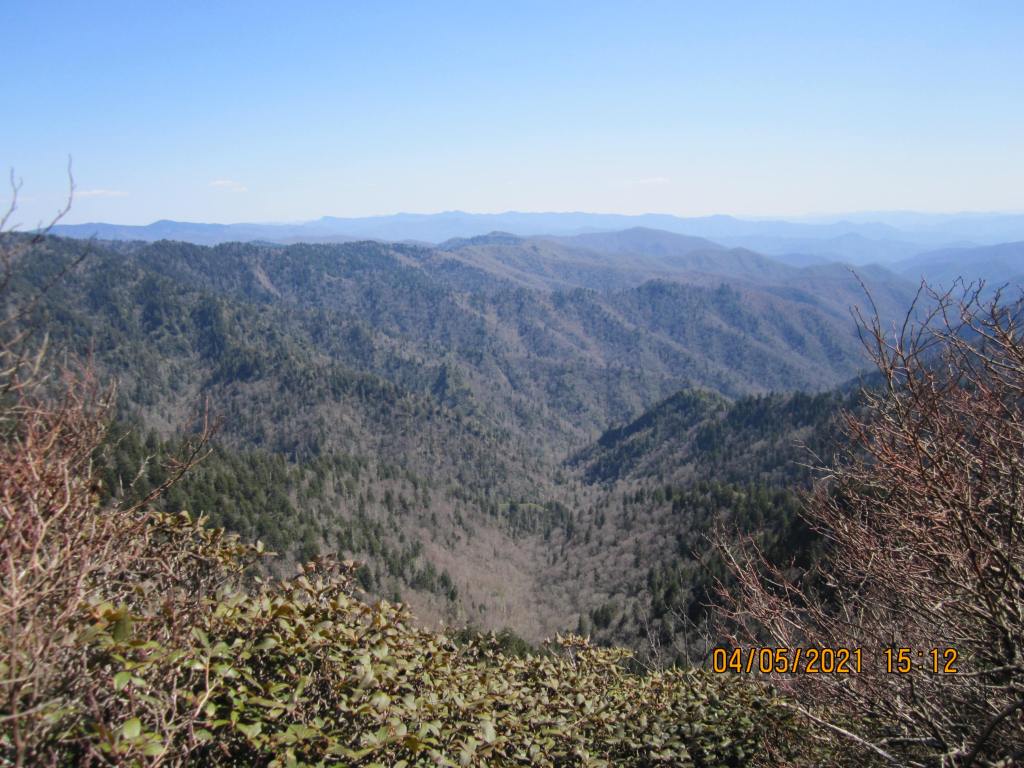
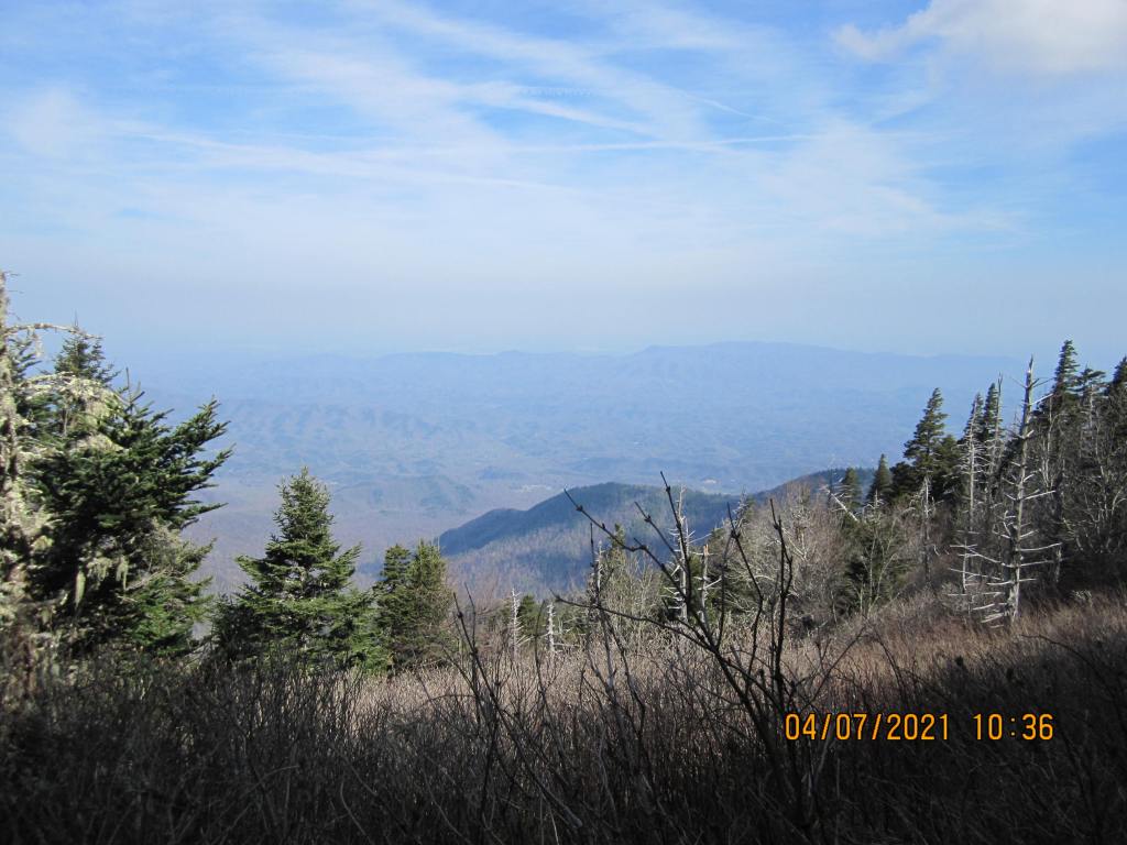
The 9/5 hike to Peck’s Corner shelter was also 9.1 miles. It wasn’t all that hard, but I remember thinking to myself I really would prefer shorter miles between camps. I’ve slowed down a lot (61 that year), and got passed by most hikers heading to one of the next two shelters. I did get a nice picture of the valley that Kephart Prong cut though.

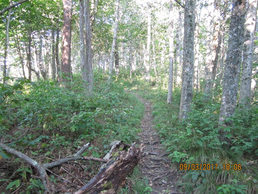
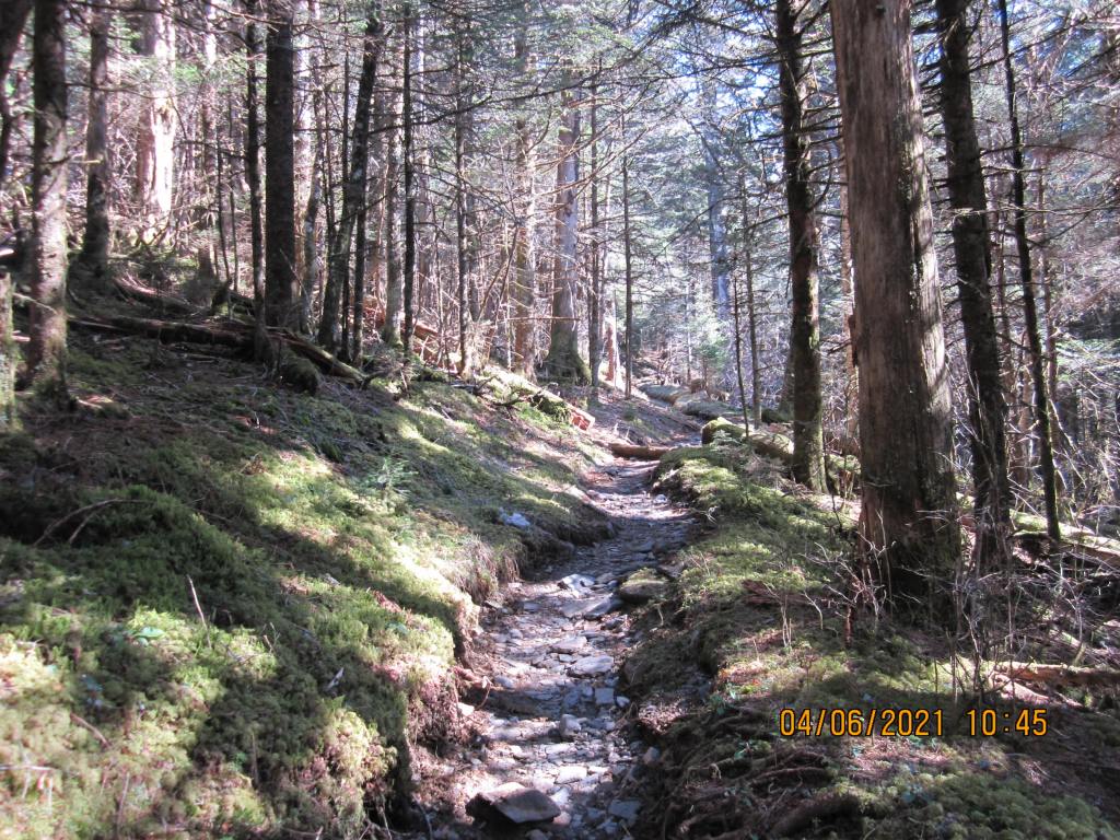
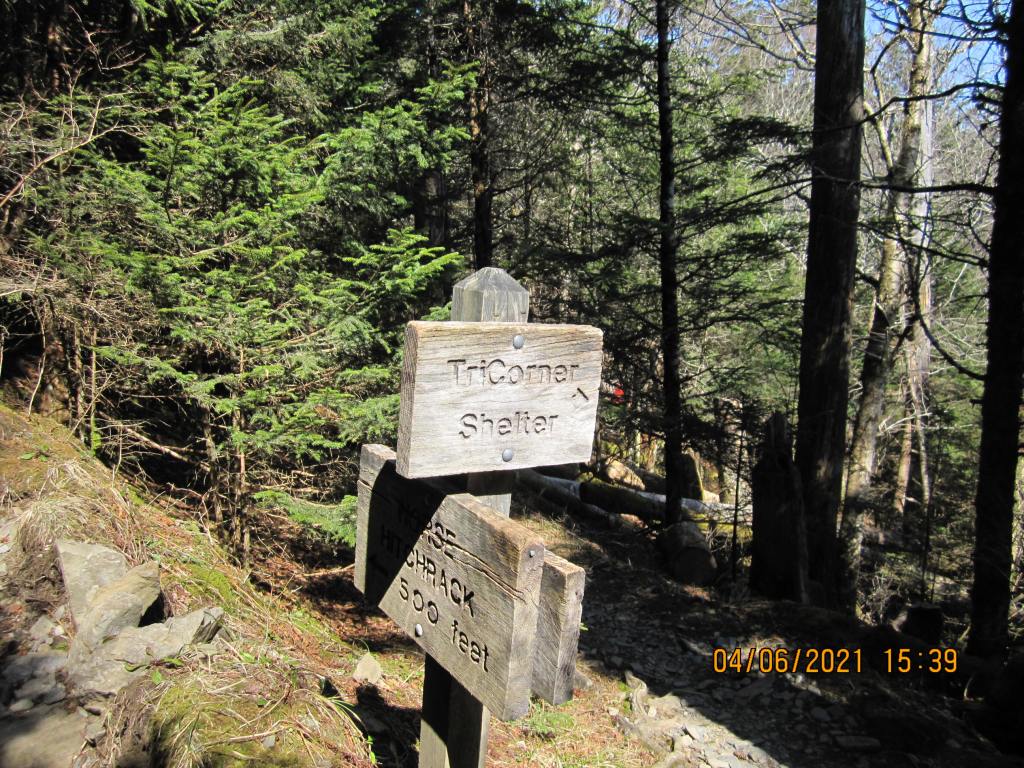
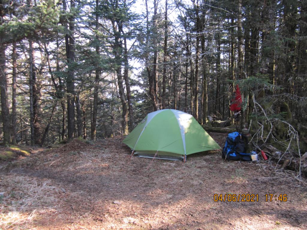
The 6.3 miles to TriCorner Knob on 9/6 was pretty uneventful The shelter was surrounded by muddy areas, so I walked a little way uphill to where horses could be tied up and camped there. 5-6 others did the same.
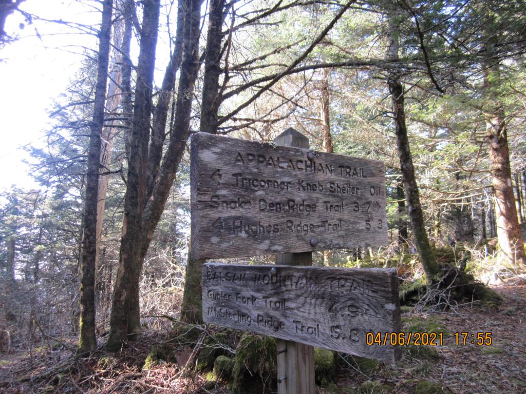
The next day’s hike was 8.5 miles, mostly along the ridge tops on the way to the Cosby Knob shelter. I passed wreckage of a plane that had crashed years ago. I camped on a small flat spot below the shelter. One other guy set up a tent nearby. He came in with 3 others, using tarp tents. That night, before daybreak, one of these guys camped down the hill about 20 yards away started hollering – “Bear!”. Sure enough, one had come into the edge of camp, tore open his tent with a claw and took his pack out. Everyone in camp was shouting, but I think only he and his buddies saw the bear. He left a candy wrapper in his pack and the bear wanted it. They wondered what to do and I told them to wait until daylight then go into the brush 30-40 yards away from camp to search for the pack. They found it, then took off for the Standing Bear Hostel, where he got a family member to bring him a new tent and pack. I’m sure they reported the bear – folks that came into the Davenport Gap shelter that night reported that the Cosby Knob shelter was closed that afternoon.


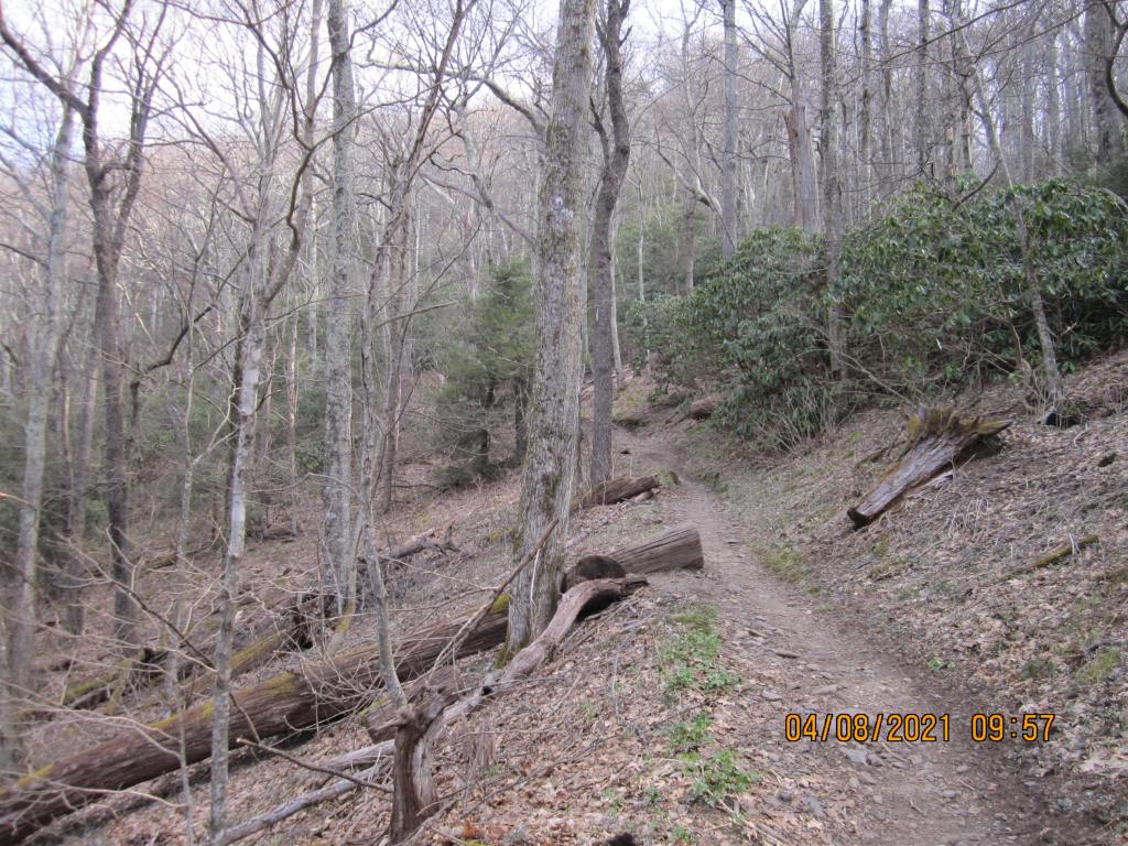
The hike on 4/8 to the Davenport Gap shelter was 8.9 miles, mostly downhill. This shelter had a fence front to it, so I knew it was probably next to get shut down. No bears at night, but the group had a great time around the campfire. One couple from Australia showed up with their two daughters, 4 and 7, who had hiked from Fontana Dam to Davenport Gap in 6 nights. There were several college age students who had dropped out and were wondering what to do with their lives. I told them I too had dropped out but returned to be an engineer.
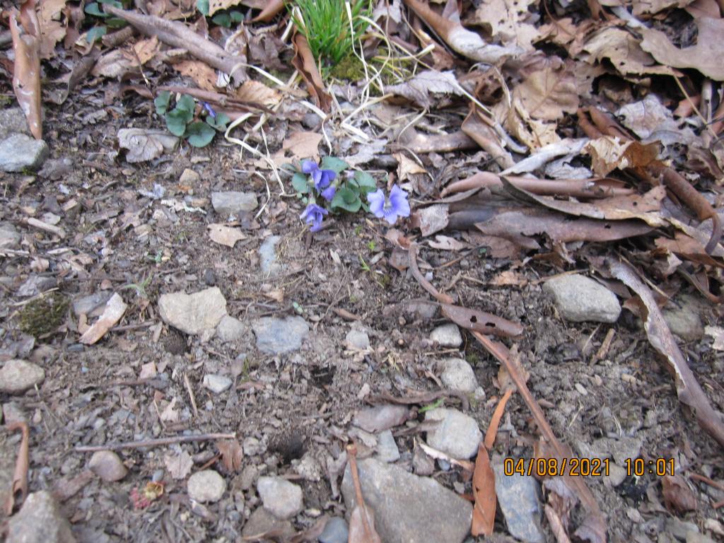
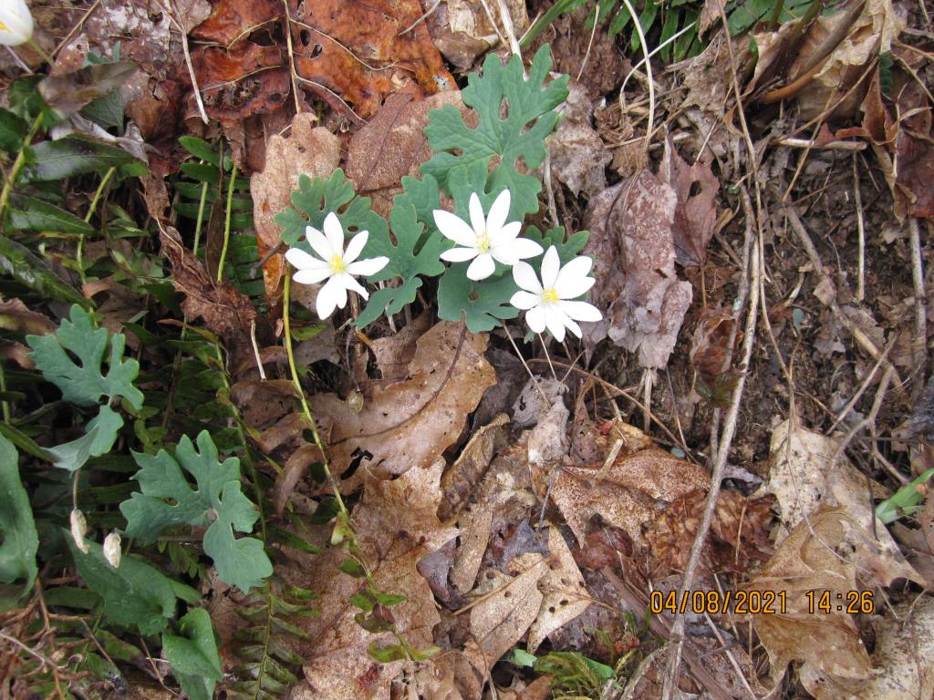
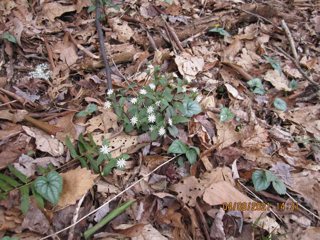
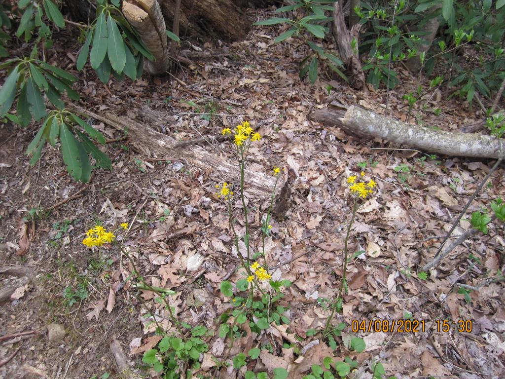
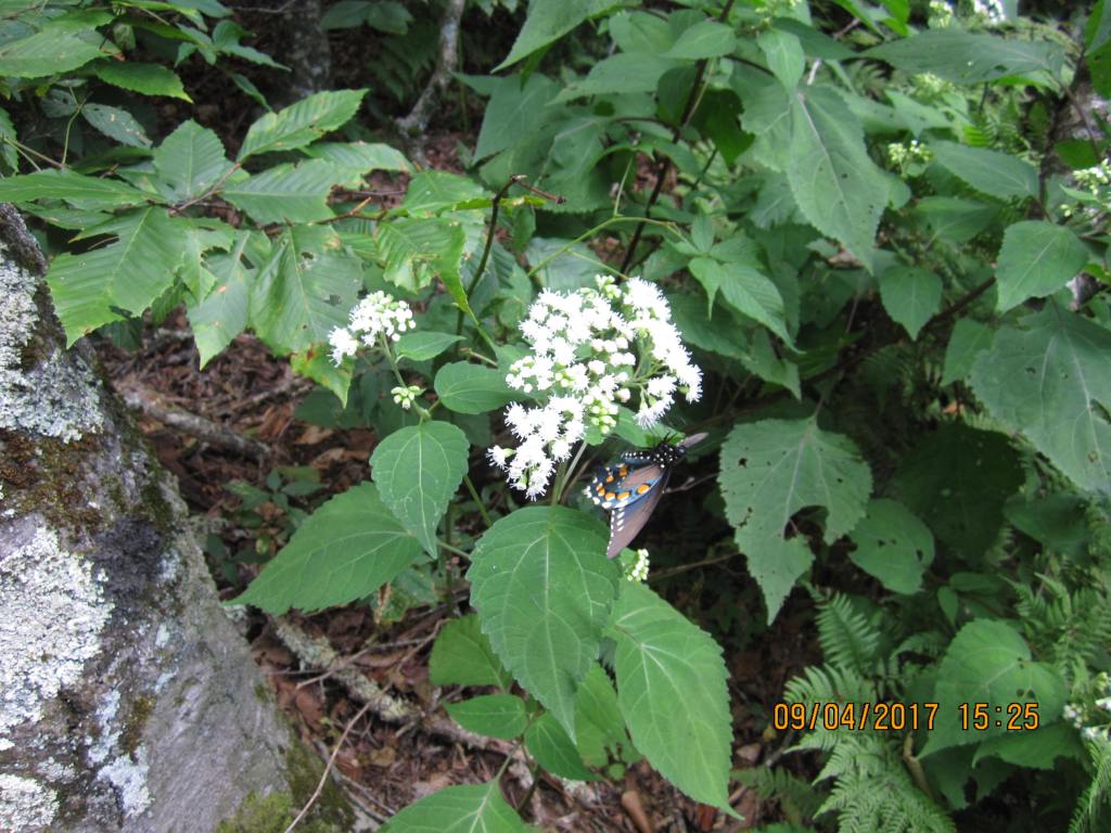
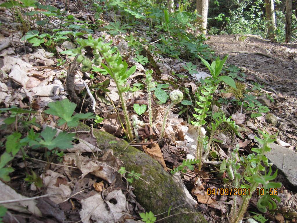
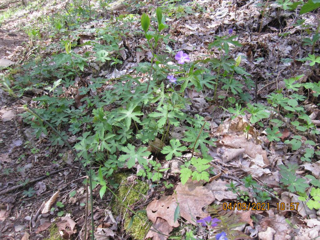
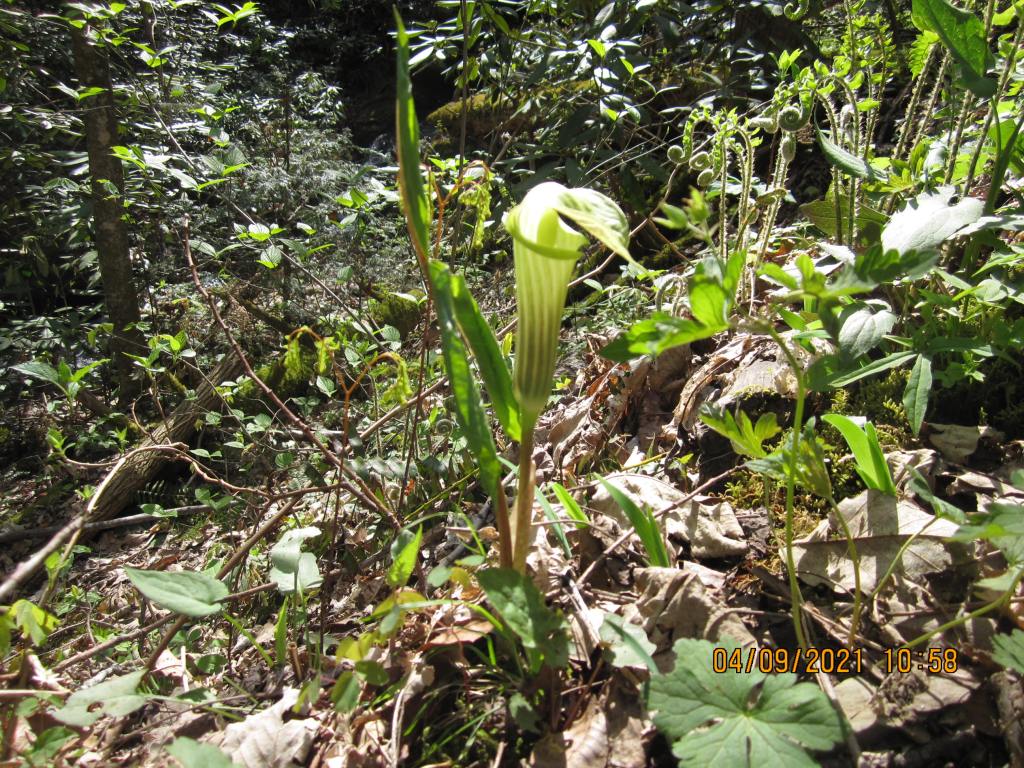
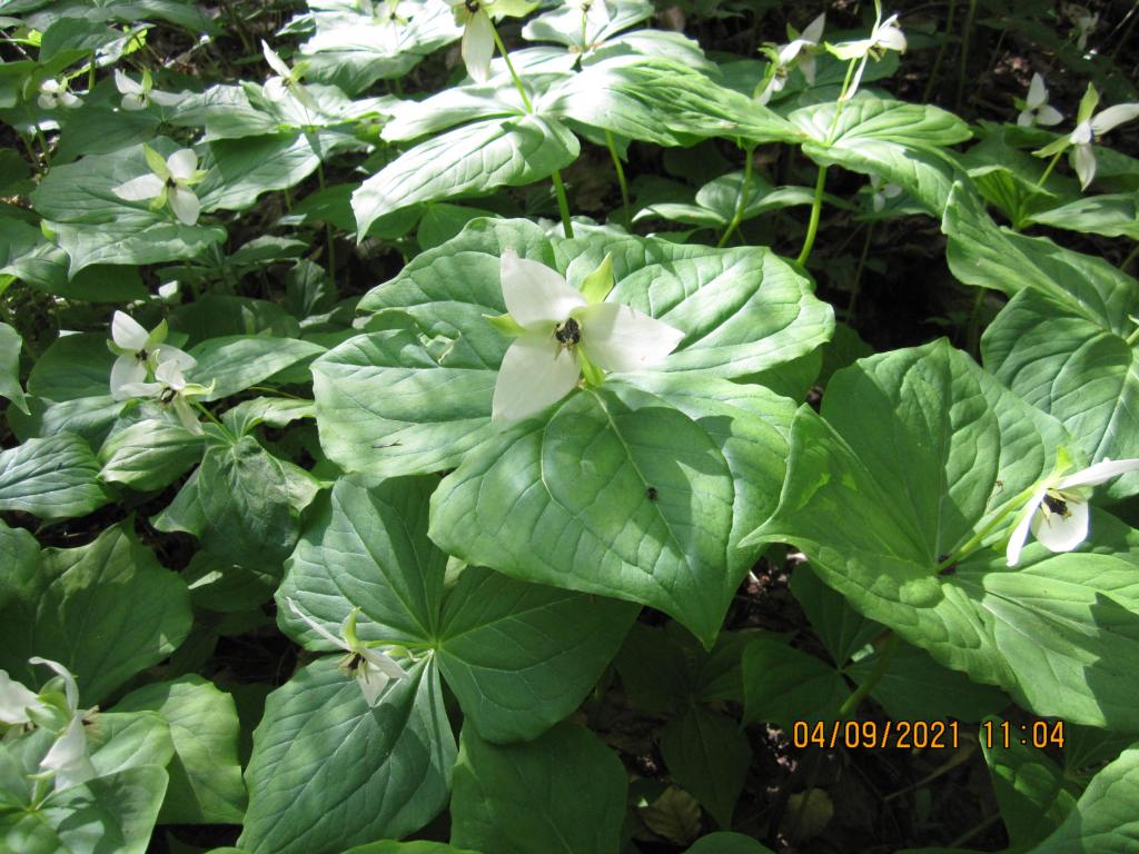
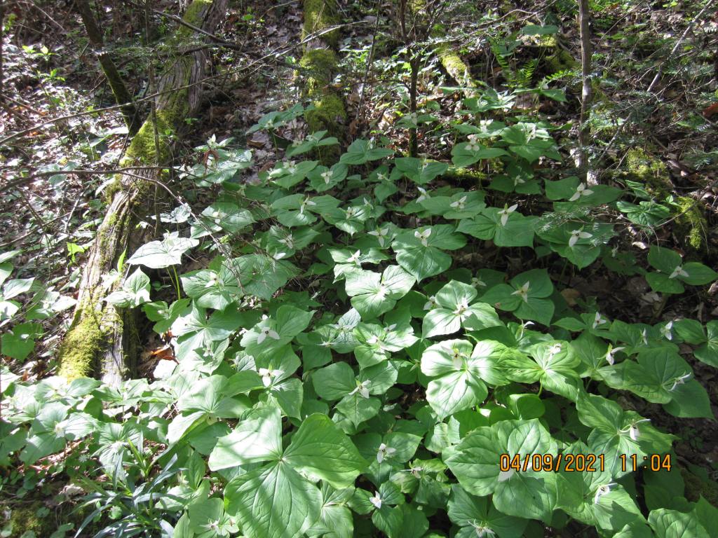
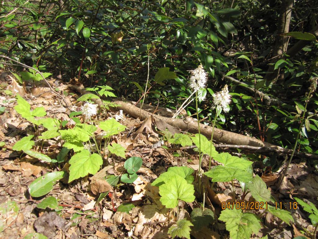
My last day, 4/9, was a pretty easy 4.9 miles to the hostel. I got some pretty good pictures of some wildflowers in the lower elevation before crossing the Pigeon River.

52.5 miles, 7 days, 6 nights. Almost no masks. Seems the younger generation does have good sense.
All-in-All
90 miles is probably more than the official mileage. I’ve found that my Garmin gps wanders while I’m stopped/resting/sucking wind – that probably adds a bit to the mileage (tells you how much I have to stop/rest/suck wind).
